
COMPACT RTK ROVER / GIS + MOBILE CAPTURE
Emlid Reach RX2 — Compact RTK Rover for Surveying and Reality Capture
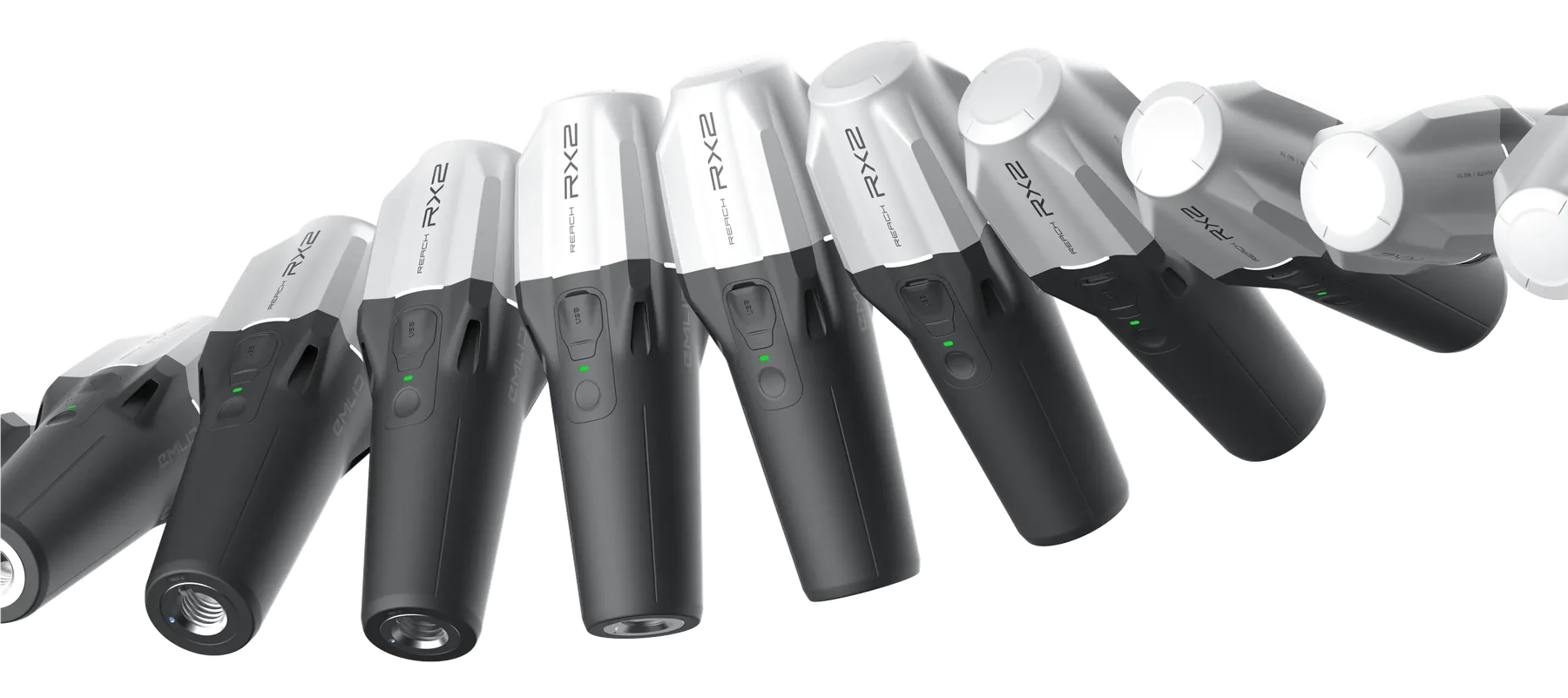
Reach RX2 is a 280 g all-band RTK rover with IMU tilt compensation and Bluetooth connectivity. It suits mobile survey, GIS and utility asset collection, and can provide corrected positions to supported PIX4Dcatch workflows on compatible iOS devices.
Observed data, configuration and quality evidence remain attached through handover.
01 / PRACTICAL OVERVIEW
Where Reach RX2 fits in the working system.
RX2 reduces the field kit to a compact rover and mobile-device workflow. It receives corrections through a suitable NTRIP source and integrates with Emlid Flow for point, line and polygon work. Its low weight is particularly useful for repeatable visible-asset inventories and close-range capture.
RX2 is not a base station. It needs an external correction source, such as a subscribed network or a compatible base connected through an NTRIP caster. Nor does it generate a point cloud by itself: PIX4Dcatch collects imagery and compatible sensor data, and separate photogrammetric processing creates 3D geometry.
02 / KEY CAPABILITIES
A small rover with a clearly defined role.
- GNSS and role
- 672-channel all-band reception; rover operation only.
- Corrections
- RTCM3 correction input through a compatible NTRIP/mobile workflow. A valid correction source is required for RTK.
- Tilt
- IMU tilt compensation for supported point-collection and stakeout workflows.
- Connectivity
- Bluetooth 4.2 workflow with NMEA position output for compatible applications.
- PIX4Dcatch
- Supported external RTK rover for PIX4Dcatch on compatible iOS devices; platform and app-version checks remain necessary.
- Physical specification
- Approximately 280 g, IP68 protection and up to 16 hours of operation under manufacturer conditions.
03 / APPLICATIONS
Mobile observation where the deliverable is visible.
Utility asset collection
Measure and attribute visible chambers, valves, hydrants and other assets. Hidden utility detection requires an appropriate investigation method.
GIS surveys
Collect points, lines and polygons with codes and attributes, then export through the selected CAD/GIS route.
Mobile 3D scanning
Pair RX2 with a compatible iPhone and PIX4Dcatch for georeferenced imagery and subsequent 3D processing.
Close-range infrastructure records
Document exposed utilities and construction conditions when surfaces, access, lighting and capture coverage are suitable.
04 / TWO WORKFLOWS, ONE ROVER
Keep observation and reconstruction separate.
01 / Correction source
Configure the subscribed network or your own base/caster route. Verify the correction CRS and output project CRS.
02A / Emlid Flow survey
Create coded projects, set antenna height, collect or stake out features, check control and export survey vectors.
02B / PIX4Dcatch capture
Confirm iOS support, mounting and antenna-to-camera offsets. Capture visible surfaces with adequate overlap.
03 / Process and verify
For scanning, reconstruct in compatible PIX4D software and review checkpoints, completeness and georeferencing before handover.
05 / ROLE COMPARISON
RX2 is not a smaller RS4 base.
| Requirement | Reach RX2 | Reach RS4 | Reach RS4 Pro |
|---|---|---|---|
| Rover operation | Yes | Yes | Yes |
| Base operation | No | Yes | Yes |
| Weight | 280 g | 927 g | 943 g |
| Direct supported PIX4Dcatch rover on iOS | Yes | Not the documented direct-rover route | Not the documented direct-rover route |
| Integrated dual-camera visual survey | No | No | Yes |
06 / SINGAPORE DEPLOYMENT
Plan connectivity and the evidence trail.
For SiReNT or another network, confirm the subscription, NTRIP credentials, mountpoint, mobile data and coverage before fieldwork. Keep credentials out of the general enquiry form. Validate on known control and agree how height reference and coordinate transformations will be handled.
For mobile scanning, plan the capture window before backfill, safe access and required GIS attributes. GPC can supplement utility records but does not automatically replace required survey observations, certified drawings or professional responsibilities.
07 / FREQUENTLY ASKED QUESTIONS
Before choosing Reach RX2.
Yes, for coordinate-based collection of visible utility assets and associated attributes in a suitable RTK workflow. It does not detect buried assets through intact ground; use the required utility-survey and detection methods separately.
It needs a correction source but not necessarily a base that you own. A suitable subscribed NTRIP network can supply corrections. Alternatively, a compatible base can relay corrections through a caster.
Yes, current PIX4D documentation lists RX2 as a supported RTK rover on compatible iOS devices. Confirm the app version, device, mount, offsets and correction configuration before deployment.
Current PIX4D documentation states that external RTK receiver connections are not supported on Android from version 1.28.0. Use a supported iOS configuration for the RX2 RTK workflow.
No. RX2 provides positioning. PIX4Dcatch captures imagery and compatible sensor data, and PIX4D processing reconstructs the point cloud or model. Vectorisation and GIS attribution are further stages.
LOCAL IMPLEMENTATION / SINGAPORE
Not sure which Emlid receiver suits your project?
Tell us what you are surveying, your operating environment and required deliverables. Model selection is optional; Easepect can help identify a suitable hardware and software workflow.