
ALL-BAND RTK / DUAL-CAMERA SURVEYING
Emlid Reach RS4 Pro — All-Band RTK GNSS with Visual Surveying
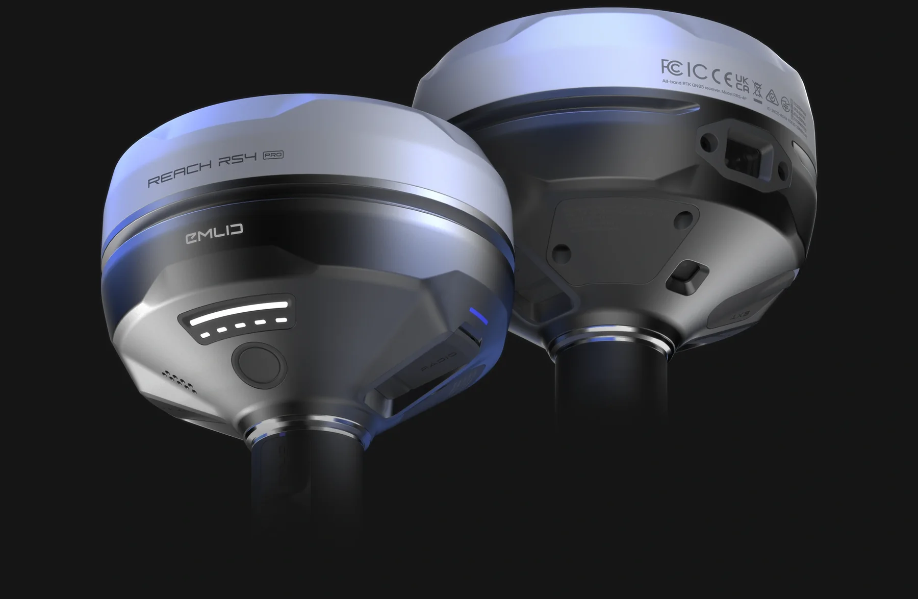
Reach RS4 Pro is an all-band RTK GNSS base and rover with IMU tilt compensation and two integrated Full HD cameras. It suits surveyors and engineering teams that need conventional GNSS observation plus supported AR stakeout and measurement of suitable individual points from images.
Observed data, configuration and quality evidence remain attached through handover.
01 / PRACTICAL OVERVIEW
Where Reach RS4 Pro fits in the working system.
The RS4 Pro extends a conventional rover workflow with visual guidance. In supported Emlid Flow workflows, design points and lines can be overlaid on the live camera view for stakeout. Camera observations can also be used to derive coordinates for suitable points that are difficult or unsafe to reach with a pole.
These functions do not remove the need for visibility, correct offsets, calibration, correction quality and independent verification. Visual capture is not equivalent to producing a complete photogrammetric point cloud: it targets selected individual points rather than reconstructing an entire scene.
02 / KEY CAPABILITIES
Professional GNSS with two visual workflows.
- GNSS tracking
- 672-channel all-band receiver supporting major constellations and multiple signal frequencies.
- Manufacturer RTK specification
- Horizontal 7 mm + 1 ppm; vertical 14 mm + 1 ppm under the manufacturer’s stated conditions. Site results require project-specific verification.
- Tilt compensation
- IMU-assisted pole-tip measurement. Manufacturer tilt specification is RTK + 2 mm + 0.3 mm/° under stated conditions.
- Cameras
- Dual integrated Full HD cameras supporting AR stakeout and visual measurement in compatible Emlid Flow workflows.
- Roles and corrections
- Base and rover operation with NTRIP and compatible LoRa/UHF correction arrangements, subject to model configuration and local requirements.
- Physical specification
- 943 g, IP68-rated magnesium-alloy housing and up to 16 hours as an RTK rover with tilt under manufacturer conditions.
03 / SINGAPORE APPLICATIONS
Where visual context can help the observer.
Civil and infrastructure setting-out
Use visual guidance to approach design locations, then verify the observed result using the agreed survey procedure.
Roadworks and utilities
Measure accessible features and selected visible points near fencing, pits or machinery where a safe direct occupation is impractical.
Earthworks and construction checks
Combine conventional observations and selected image-based points with independent construction QA.
Survey verification and GIS
Capture attributed field observations in Flow and export through a coordinate-checked handover process.
04 / FIELD WORKFLOW
Treat visual measurement as an observation method.
01 / Prepare control
Define coordinate and height references, correction source, antenna height and independent checks.
02 / Configure and calibrate
Confirm receiver firmware, Flow version, camera functions, tilt initialisation and project settings before measuring.
03 / Observe suitable points
Maintain clear imagery and appropriate geometry. Avoid assuming that occluded, poorly textured or ambiguous targets are measurable.
04 / Verify and export
Repeat or independently check critical observations, inspect solution information, then export the agreed CAD/GIS formats.
05 / PRODUCT DISTINCTION
RS4 Pro compared with RS4 and PIX4Dcatch.
| Capability | Reach RS4 Pro | Reach RS4 | RX2 + PIX4Dcatch |
|---|---|---|---|
| Base and rover roles | Both | Both | RX2 is rover only |
| Integrated dual-camera AR stakeout | Yes | No | Not an RX2 receiver-camera function |
| Measure selected points from images | Yes, supported workflow | No | Different mobile photogrammetry workflow |
| Complete 3D scene reconstruction | Not the visual-capture purpose | No | Created by separate photogrammetric processing |
| Primary fit | Visual surveying and conventional GNSS | All-band base/rover surveying | Lightweight positioning and close-range capture |
06 / IMPLEMENTATION
Demonstrate the decisions, not just the camera view.
A useful demonstration should include correction setup, known-point verification, tilt use, design import, AR stakeout and a representative visual measurement. It should also show cases where direct GNSS occupation or another capture method remains more appropriate.
Easepect can scope the receiver, accessories, correction route, Emlid Flow configuration, team training and export checks. Procurement and training do not imply acceptance under a particular survey specification.
07 / FREQUENTLY ASKED QUESTIONS
Before choosing Reach RS4 Pro.
It is a 672-channel all-band RTK GNSS receiver that can operate as a base or rover, with IMU tilt compensation and dual Full HD cameras for supported AR stakeout and selected visual point measurement.
The principal distinction is the Pro’s integrated dual-camera visual workflow, including AR stakeout and measurement from images. RS4 retains all-band base/rover GNSS and tilt compensation without those integrated camera functions.
No. RS4 Pro visual capture derives coordinates for suitable individual points from camera observations. Full-scene point clouds require a separate reconstruction method such as photogrammetry or laser scanning.
No. The target must be visible and suitable for the observation geometry and software workflow. Critical points should be independently checked, and unsafe or poor-quality observations should not be forced.
Yes. It supports base and rover roles. The base still needs an appropriate position, correction output configuration and compatible link to the rover.
LOCAL IMPLEMENTATION / SINGAPORE
Not sure which Emlid receiver suits your project?
Tell us what you are surveying, your operating environment and required deliverables. Model selection is optional; Easepect can help identify a suitable hardware and software workflow.