
RTK MOBILE CAPTURE / GEOREFERENCED 3D
PIX4Dcatch and Emlid RX2 — From Field Capture to Georeferenced 3D Data
A compatible iPhone running PIX4Dcatch and connected to Reach RX2 can collect RTK-georeferenced imagery for processing into 3D point clouds and models. GNSS positioning, image capture, photogrammetric reconstruction and feature vectorisation are separate stages.
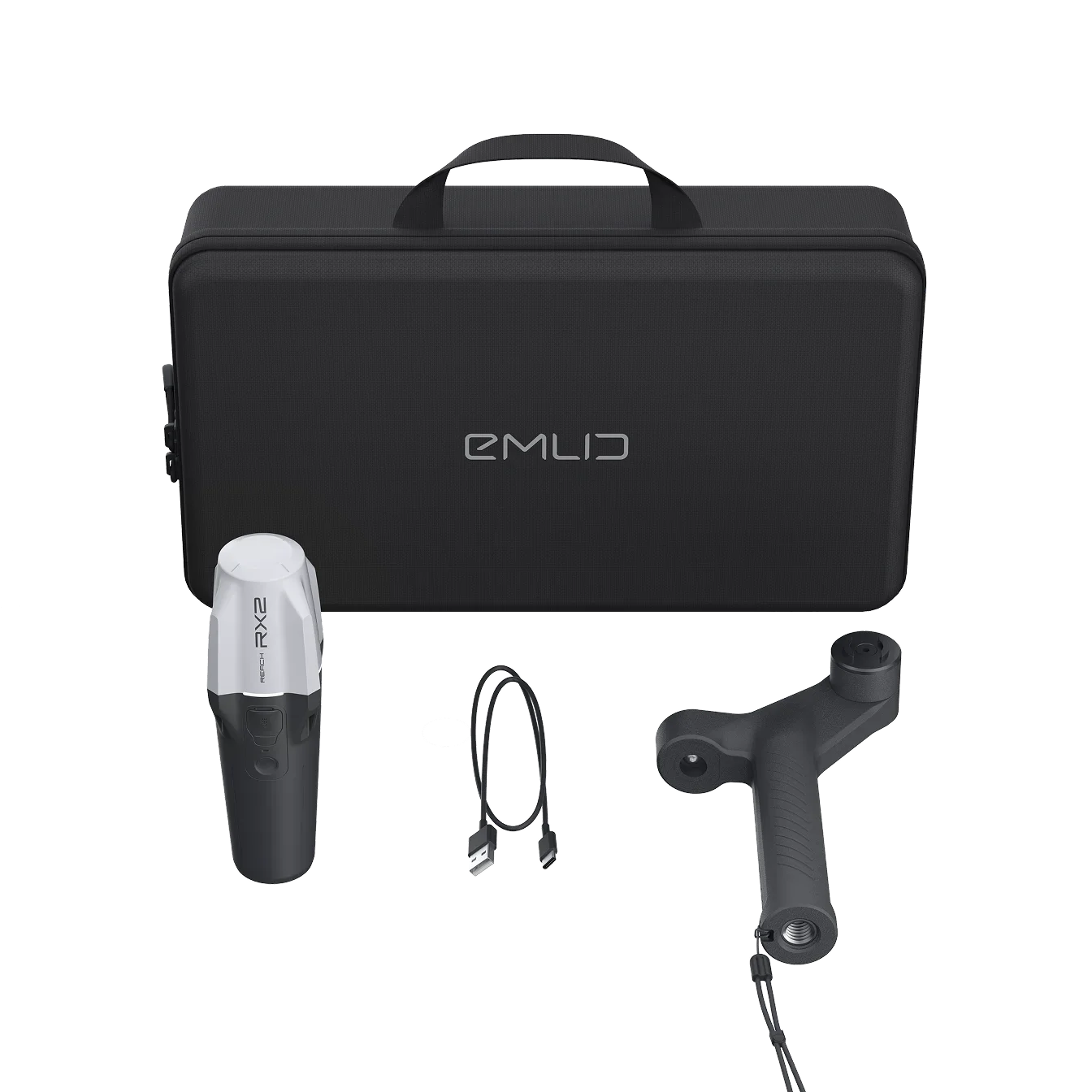
Observed data, configuration and quality evidence remain attached through handover.
01 / PRACTICAL OVERVIEW
Where PIX4Dcatch and Emlid RX2 fits in the working system.
The workflow combines close-range photogrammetry with corrected GNSS positioning to document visible physical conditions in three dimensions. It is relevant to utility trench records, construction verification, infrastructure inspection and measurable digital documentation where the capture environment is suitable.
The receiver does not “scan”, and the phone does not see through intact ground. RX2 provides positioning; PIX4Dcatch collects imagery and compatible sensor data; PIX4Dmatic or PIX4Dcloud processes supported projects into spatial geometry; vectorisation and attribution turn selected geometry into meaningful project features.
02 / FIVE-STAGE WORKFLOW
Preserve quality control from setup to delivery.
01 / Prepare
Connect RX2 to a compatible iOS device, establish a suitable NTRIP correction connection and verify antenna-to-camera offset settings.
02 / Capture
Walk around the subject or exposed trench with adequate image overlap, stable movement and surface visibility. Record occluded or inaccessible areas.
03 / Process
Transfer or upload the project to a compatible PIX4D processing solution, such as PIX4Dmatic or PIX4Dcloud, subject to plan and dataset support.
04 / Review
Inspect completeness, georeferencing, processing information and independent checkpoints. An RTK-fixed label alone is not final accuracy evidence.
05 / Deliver
Export agreed point clouds, meshes, orthographic views, measurements or vectorised features with CRS, QA and exception notes for CAD/GIS use.
03 / WHO CREATES EACH OUTPUT?
Four technologies, four distinct responsibilities.
| Stage | Primary tool | Output | What it does not prove |
|---|---|---|---|
| Positioning | Reach RX2 + correction source | Corrected rover positions | 3D geometry or hidden utility detection |
| Field capture | PIX4Dcatch on compatible iOS | Images and compatible sensor/project data | Final accepted point cloud |
| Reconstruction | PIX4Dmatic or PIX4Dcloud | Point cloud, mesh and other supported spatial outputs | Automatic survey certification |
| Interpretation | CAD/GIS and project review | Vector features, attributes and records | Replacement for required field observations |
| Verification | Known control/checkpoints and project QA | Quality evidence and exception record | Universal compliance without project assessment |
04 / WHY IT MATTERS FOR UTILITIES
Capture the exposure window before it closes.
Preserve spatial context
Record pipe arrangements, connections, relative positions and surrounding excavation conditions that conventional photographs alone may not communicate.
Support as-built records
Combine the 3D evidence with separately surveyed points, asset attributes and suitable quality controls.
Improve remote review
Allow authorised reviewers to inspect visible geometry and context without treating every visual detail as a certified measurement.
Plan before backfill
Coordinate safe access, cleaning, lighting and capture time with the site team. Incomplete coverage must remain visible as an exception.
05 / COMPATIBILITY AND LIMITS
Check the complete configuration.
- Mobile platform
- Current PIX4D documentation supports RX2 as an external RTK receiver on compatible iOS devices, not the Android external-RTK route.
- Correction source
- RX2 requires a suitable NTRIP service or base/caster arrangement. Confirm account, mountpoint, connectivity and coordinate output.
- Surface visibility
- Photogrammetry records exposed visible surfaces. It cannot detect pipes behind intact soil, concrete or other opaque material.
- Processing route
- Confirm PIX4Dcatch version, project export, PIX4Dmatic/PIX4Dcloud plan and required output formats before field capture.
- GPC scope
- A geo-located point cloud supplements utility surveys and records. It does not automatically satisfy USS, URA/IPAG, ASCE 38, PAS 128, cadastral or certification requirements.
06 / DEMONSTRATION SCOPE
Test one complete, representative handover.
Easepect can demonstrate correction setup, known-point verification, capture technique, processing, checkpoint review and export using representative or appropriately approved data. The demonstration should include failure cases such as poor coverage, missing corrections and coordinate mismatch.
Do not submit sensitive site details, credentials or restricted project imagery through the general enquiry form. Customer case material is used only with appropriate permission.
07 / FREQUENTLY ASKED QUESTIONS
Before choosing PIX4Dcatch and Emlid RX2.
No. GNSS supplies positioning. PIX4Dcatch collects imagery and compatible sensor data, and photogrammetric processing creates the point cloud. These stages must be configured and checked together.
Current PIX4D documentation says external RTK devices are not supported on Android from version 1.28.0. Use a compatible iOS configuration for the RX2 RTK workflow.
No. It documents visible surfaces and exposed utilities. Pipes behind intact ground or concrete require appropriate subsurface detection and survey methods.
Not automatically. Required survey observations, attributes, certified drawings and professional responsibilities remain separate. GPC provides supplementary spatial and visual evidence.
Supported projects can be processed through an appropriate PIX4Dmatic or PIX4Dcloud route. The choice depends on version support, licensing, data governance, analysis and collaboration requirements.
LOCAL IMPLEMENTATION / SINGAPORE
Not sure which Emlid receiver suits your project?
Tell us what you are surveying, your operating environment and required deliverables. Model selection is optional; Easepect can help identify a suitable hardware and software workflow.