PhotoMesh — Getting Started
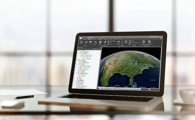
An introductory manufacturer walkthrough of the PhotoMesh working environment and production sequence.
- Product
- PhotoMesh
- Industry
- Photogrammetry production
 Get a quote
SKYLINE / DEMONSTRATION LIBRARY
Explore official Skyline-hosted projects and manufacturer videos by product, industry and technical depth. Videos load only when selected; interactive demonstrations open in a new tab.
Source evidence, configuration and quality context remain attached through handover.
01 / PRACTICAL OVERVIEW
These resources are published by Skyline and are provided for product evaluation. They are not Easepect project references, accuracy demonstrations or evidence of performance on a particular Singapore site.
Use the filters to compare reconstruction, desktop analysis, browser access and industry applications. For a meaningful evaluation, note the source data, user task and deployment model you want to reproduce in a technical demonstration.
FILTER THE OFFICIAL LIBRARY
An introductory manufacturer walkthrough of the PhotoMesh working environment and production sequence.
Review how complementary photographic and LiDAR observations enter a hybrid reconstruction workflow.
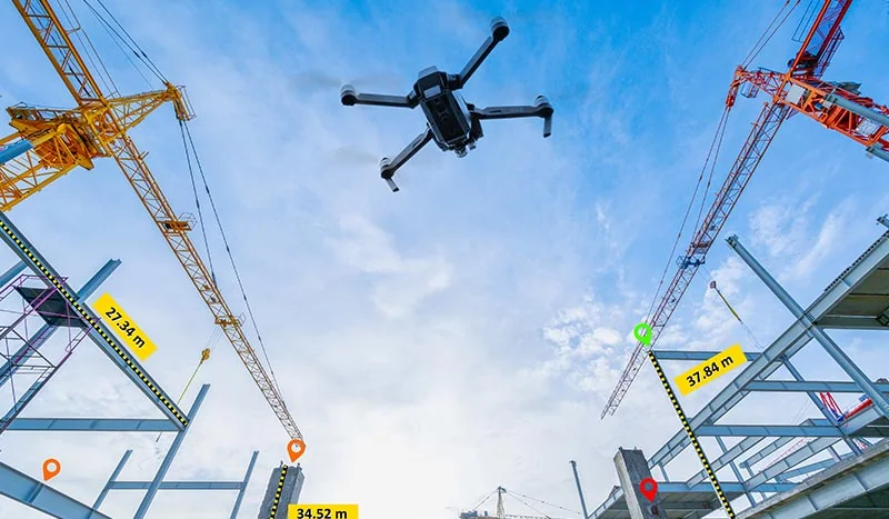
A manufacturer introduction to local drone-image processing and geospatial output production.
See the operating concept behind sharing PhotoMesh production tasks across suitable processing workers.
An introduction to navigating and investigating geospatial content in TerraExplorer.
A manufacturer demonstration of spatial comparison tools for reviewing different project conditions.
Explore how a PhotoMesh model and associated source photographs can support visual inspection.
A manufacturer introduction to accessing and interacting with 3D GIS projects in a web browser.
A technical manufacturer resource for understanding geospatial services and server operation.
Review the manufacturer workflow for making suitable TerraExplorer content available through server services.
A public manufacturer video illustrating documented 3D terrain and geospatial visualisation capabilities.
Open a Skyline-hosted project to explore visual comparison between construction datasets.
Investigate a Skyline-hosted example of model navigation and associated source-photo review.
Explore a manufacturer-hosted city environment and planning presentation in TerraExplorer Fusion.
All interactive projects and videos are attributed to Skyline Software. Manufacturer images are illustrative thumbnails, not frames presented as video evidence.
03 / EVALUATION NOTES
Identify whether the example begins with drone photographs, aerial imagery, LiDAR, terrain or existing GIS layers.
Separate model generation from hosting, browser viewing, analysis and project publication.
Check whether the shown task is simple navigation, measurement, comparison, source-photo inspection or editing.
A public demo does not establish the security, concurrency or offline behaviour of your proposed implementation.
04 / FREQUENTLY ASKED QUESTIONS
No. The linked interactive projects and videos are official Skyline resources. They are labelled as manufacturer demonstrations and are not presented as Easepect customer work.
Preview panels keep the initial page lighter. Selecting a video loads its YouTube player on demand; interactive projects open on Skyline’s own platform.
LOCAL IMPLEMENTATION / SINGAPORE
Share your application, approximate data volume and user responsibilities. Easepect can help scope product supply, demonstrations, deployment, integration and training.