SkylineGlobe Server Training
A technical manufacturer resource for understanding geospatial services and server operation.
- Product
- SkylineGlobe Server
- Industry
- Enterprise geospatial hosting
 Get a quote
GEOSPATIAL SERVICES / CONTROLLED SHARING
A geospatial server platform for organising, publishing and streaming 2D and 3D spatial datasets to authorised desktop, browser and compatible external GIS clients.
Source evidence, configuration and quality context remain attached through handover.
01 / PRACTICAL OVERVIEW
SkylineGlobe Server provides data and streaming services for organisations that need managed access to spatial information. It can expose content to TerraExplorer clients and supported standards-based applications.
Storing, publishing, streaming and converting data are separate responsibilities from generating it. PhotoMesh, TerraBuilder or other production tools create source outputs; server services catalogue and deliver supported layers.
OFFICIAL MANUFACTURER MEDIA
Skyline-hosted demonstrations and videos are manufacturer resources, not Easepect project references. Video players load only after selection.
A technical manufacturer resource for understanding geospatial services and server operation.
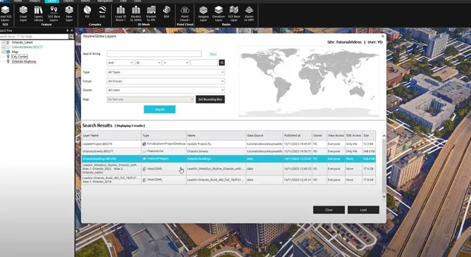
Review the manufacturer workflow for making suitable TerraExplorer content available through server services.
03 / CONTENT SERVICES
04 / DEPLOYMENT
| Deployment | Potential fit | Assessment required |
|---|---|---|
| Organisation-managed server | Teams with approved infrastructure and internal IT administration | Sizing, licensing, upgrades, identity, backup and network access |
| Private network environment | Controlled internal access and restricted external connectivity | Activation, dependencies, client reach, certificates and support route |
| Cloud-hosted deployment | Elastic infrastructure or reduced internal server operation | Hosting approval, region, access controls, egress, concurrency and shared responsibility |
05 / CURRENT ARCHITECTURE
Skyline’s 8.5 release material documents a modular .NET Core 8 architecture, Windows deployment and Linux deployment using Docker or Kubernetes, together with updated management and API capabilities. These are options to assess, not an assertion that every existing environment can migrate without testing.
Concurrent-user limits, public-project licensing, authentication, permitted data stores and external client compatibility must be checked against the exact version and licence. Do not place access tokens or restricted project URLs in a public page or general enquiry.
06 / FREQUENTLY ASKED QUESTIONS
It is Skyline’s platform for storing, cataloguing, publishing and streaming geospatial layers and projects to authorised clients. It does not replace the production tools used to generate photogrammetric or terrain outputs.
Its primary role is publishing, management and streaming. Some services convert or expose data for different clients, but photogrammetric reconstruction belongs to tools such as PhotoMesh.
LOCAL IMPLEMENTATION / SINGAPORE
Share your application, approximate data volume and user responsibilities. Easepect can help scope product supply, demonstrations, deployment, integration and training.