PhotoMesh — Getting Started
An introductory manufacturer walkthrough of the PhotoMesh working environment and production sequence.
- Product
- PhotoMesh
- Industry
- Photogrammetry production
 Get a quote
PHOTOGRAMMETRY / SCALABLE PRODUCTION
Professional photogrammetry for reconstructing georeferenced 3D environments, point clouds, orthophotos and terrain products from aerial, ground and compatible complementary data.
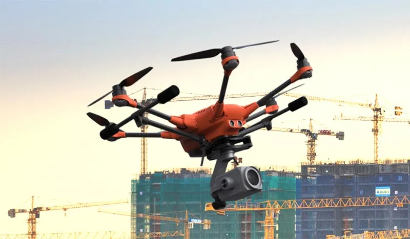
Source evidence, configuration and quality context remain attached through handover.
01 / PRACTICAL OVERVIEW
PhotoMesh is designed for substantial geographic areas, complex structures and repeat mapping. Its build process can produce textured meshes, point clouds and 2D mapping outputs for downstream GIS, engineering and digital-twin work.
A successful project still depends on image geometry, control, coordinate treatment and output review. Software settings or a quality report do not replace independent verification against the project specification.
OFFICIAL MANUFACTURER MEDIA
Skyline-hosted demonstrations and videos are manufacturer resources, not Easepect project references. Video players load only after selection.
An introductory manufacturer walkthrough of the PhotoMesh working environment and production sequence.
Review how complementary photographic and LiDAR observations enter a hybrid reconstruction workflow.
03 / CORE CAPABILITIES
Generate detailed 3D content from overlapping photographs with georeferencing and control-point workflows.
Use tiled reconstruction and suitable local or distributed processing resources for substantial datasets.
Combine complementary observations where the supported workflow and data quality justify doing so.
Use control, reference projects and supported reference-data alignment to improve positioning and repeatability.
Produce supported mesh and point-cloud formats alongside orthophotos, DSM and DTM products.
Use available project queues, APIs and quality reporting to support repeatable production and documented checks.
04 / PHOTOMESH 8.1 GENERATION
Documented in Skyline’s PhotoMesh 8.1 release material; confirm availability in the exact deployed build and licence.
05 / APPLICATIONS
Build broad spatial context for planning and engineering.
Generate repeat site models for comparison and communication.
Create navigable models linked to suitable source-photo inspection workflows.
Produce georeferenced elevation and image products for subsequent assessment.
06 / FREQUENTLY ASKED QUESTIONS
Depending on configuration, PhotoMesh can generate textured 3D meshes, point clouds, orthophotos or true orthophotos, DSM and DTM products. Current documentation lists several GIS-oriented export formats; confirm the required output in the selected licence.
Yes, current PhotoMesh documentation describes hybrid imagery and LiDAR processing and direct photo-to-LiDAR alignment. Compatibility, reference quality and the reconstruction approach should be tested on the actual dataset.
No software guarantees project accuracy independently of capture, control and verification. Assess the quality report and independent checkpoints against the required coordinate reference and project tolerance.
LOCAL IMPLEMENTATION / SINGAPORE
Share your application, approximate data volume and user responsibilities. Easepect can help scope product supply, demonstrations, deployment, integration and training.