Infrastructure Inspection Using Photographs
Explore how a PhotoMesh model and associated source photographs can support visual inspection.
- Product
- PhotoMesh + TerraExplorer
- Industry
- Infrastructure inspection
 Get a quote
SOLUTIONS / ASSET INSPECTION
Give asset owners a measurable visual record and spatial context for inspection planning, source-photo review and repeat-condition assessment.
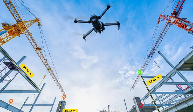
Source evidence, configuration and quality context remain attached through handover.
01 / PRACTICAL OVERVIEW
Three-dimensional reality capture can help asset owners examine structures and maintain visual documentation over time. PhotoMesh generates models from compatible imagery, while TerraExplorer provides tools for interacting with the model and associated geospatial information.
A 3D model is not an automatic defect-detection system. Automated classification would be a separate capability requiring its own validated training, performance evidence and operating procedure.
OFFICIAL MANUFACTURER MEDIA
Skyline-hosted demonstrations and videos are manufacturer resources, not Easepect project references. Video players load only after selection.
Explore how a PhotoMesh model and associated source photographs can support visual inspection.
Investigate a Skyline-hosted example of model navigation and associated source-photo review.
03 / APPLICATIONS
Review visible facades and roof context with appropriate image coverage.
Understand complex visible assets in their surrounding environment.
Support visual inspection planning and record accessible surface conditions.
Reduce unnecessary initial access while preserving source evidence.
Provide spatial context for above-ground visible infrastructure.
Plan capture around safe access and the limits of remote observation.
04 / INSPECTION VALUE
05 / OFFICIAL DEMONSTRATION
Skyline’s Photo Inspection project demonstrates a manufacturer-hosted inspection workflow. It is not an Easepect customer project, and its visual quality does not establish detection performance for another asset or capture dataset.
Visible-light reconstruction records surfaces visible to the cameras. It does not reveal concealed reinforcement, internal defects or buried services behind intact ground and structures.
06 / FREQUENTLY ASKED QUESTIONS
No automatic defect-detection claim is made here. PhotoMesh creates spatial outputs; any automated classification requires a separate, separately validated capability and professional review.
Supported TerraExplorer Photo Inspector workflows can display source photographs associated with a PhotoMesh model. Availability depends on project preparation and the TerraExplorer edition.
LOCAL IMPLEMENTATION / SINGAPORE
Share your application, approximate data volume and user responsibilities. Easepect can help scope product supply, demonstrations, deployment, integration and training.