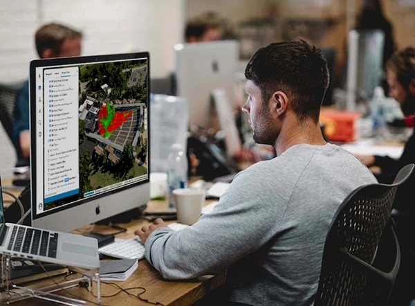
Urban Planning — Interactive Project
Explore a manufacturer-hosted city environment and planning presentation in TerraExplorer Fusion.
- Product
- TerraExplorer Fusion
- Industry
- Urban planning
 Get a quote
SOLUTIONS / URBAN PLANNING
Understand terrain, buildings, infrastructure and development proposals within a consistent geographic context while keeping observed, designed and authoritative records distinct.
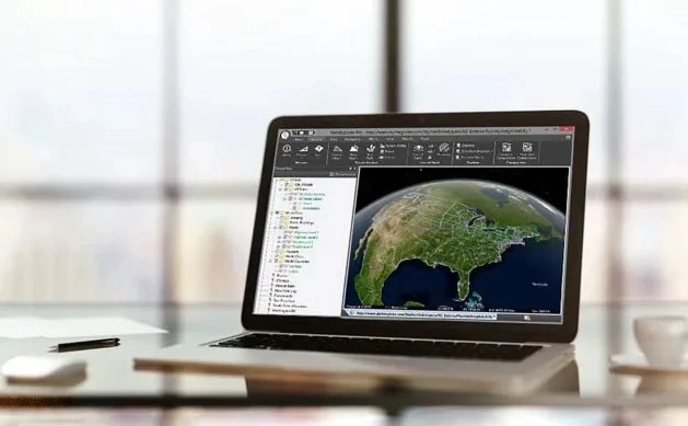
Source evidence, configuration and quality context remain attached through handover.
01 / PRACTICAL OVERVIEW
Urban planning requires a shared understanding of existing conditions and proposed change. Skyline’s combined platform can support generation, integration and visualisation of 3D environments for urban analysis and planning.
An image-derived model shows reconstructable visible conditions at the time of capture. It is not a design model, an authoritative utility record or proof of legal boundaries and regulatory compliance.
OFFICIAL MANUFACTURER MEDIA
Skyline-hosted demonstrations and videos are manufacturer resources, not Easepect project references. Video players load only after selection.
Explore a manufacturer-hosted city environment and planning presentation in TerraExplorer Fusion.
03 / PLANNING APPLICATIONS
Create navigable existing-condition context from suitable source data.
Place proposals within surrounding terrain, buildings and infrastructure.
Communicate massing and spatial relationships with clear scenario labels.
Compare proposed forms with the reconstructed visible environment.
Investigate slope, profiles and visibility using suitable source resolution.
Review route context and constraints across a broader area.
Display approved utility information with source and currency clearly stated.
Prepare guided views for different technical and public audiences.
04 / EVIDENCE DISTINCTION
| Information layer | What it represents | Required caution |
|---|---|---|
| Observed existing conditions | Visible surfaces reconstructed from dated imagery or compatible observations | Occlusion, capture date and reconstruction quality affect completeness |
| Design or proposal model | An intended scenario supplied by the design team | Label version and status; it is not evidence of constructed conditions |
| Authoritative records | Approved utility, cadastral or asset information from the responsible source | Do not infer authority from visual alignment with a mesh |
05 / OFFICIAL DEMONSTRATION
The linked Frederick Urban Planning project is an official Skyline demonstration. It provides an example of browser-based interaction and should not be interpreted as a Singapore planning proposal or an Easepect customer case.
For a local pilot, define the decision, study area, data owner, coordinate reference and publication audience before assembling the 3D environment.
06 / FREQUENTLY ASKED QUESTIONS
Yes, suitable observed and design content can be integrated in TerraExplorer. Each layer should retain its source, date and status so the audience can distinguish current observations from proposals.
Not by default. Photogrammetry reconstructs visible surfaces. Utility information must come from appropriate surveys and authoritative records, with its own currency and reliability context.
LOCAL IMPLEMENTATION / SINGAPORE
Share your application, approximate data volume and user responsibilities. Easepect can help scope product supply, demonstrations, deployment, integration and training.