
SKYLINE / PRODUCT ARCHITECTURE
Skyline Products — From Spatial Production to 3D GIS Access
Understand which Skyline component creates data, which prepares terrain, which publishes it and which users need for inspection, analysis and collaboration.
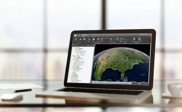
Source evidence, configuration and quality context remain attached through handover.
01 / PRACTICAL OVERVIEW
Where Skyline Products fits in the working system.
Skyline products are easiest to evaluate by responsibility. A single project may need only local reconstruction and desktop review, or it may require distributed processing, controlled streaming and browser access for several teams.
The tables and product guides below are an evaluation map, not a licence quotation. Easepect can help confirm current editions, output entitlements, hardware, concurrency and deployment scope before procurement.
02 / PRODUCT DIRECTORY
Nine product and deployment guides.
Start with the responsibility you need to assign, then confirm the exact edition, version and commercial scope.
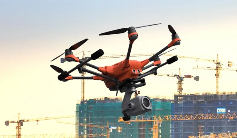
PhotoMesh
Professional photogrammetry for reconstructing georeferenced 3D environments, point clouds, orthophotos and terrain products from aerial, ground and compatible complementary data.
Explore PhotoMesh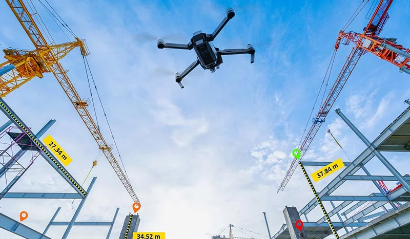
PhotoMesh Drone
A single-workstation PhotoMesh configuration for organisations producing georeferenced 3D and 2D outputs without necessarily operating a distributed processing cluster.
Explore PhotoMesh DronePhotoMesh Processing Options
Choose a processing architecture around throughput, infrastructure ownership and data governance—not an assumption that every package contains identical features.
Explore PhotoMesh Processing Options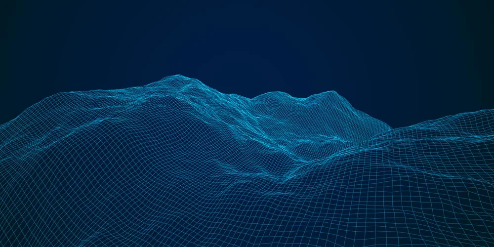
TerraBuilder
Terrain-production software for integrating, adjusting and optimising imagery and elevation datasets into geographically referenced resources for 3D GIS environments.
Explore TerraBuilderTerraExplorer Desktop
A professional 3D GIS environment for combining terrain, imagery, point clouds, meshes and GIS information, with edition-dependent tools for analysis, editing, conversion and publishing.
Explore TerraExplorer Desktop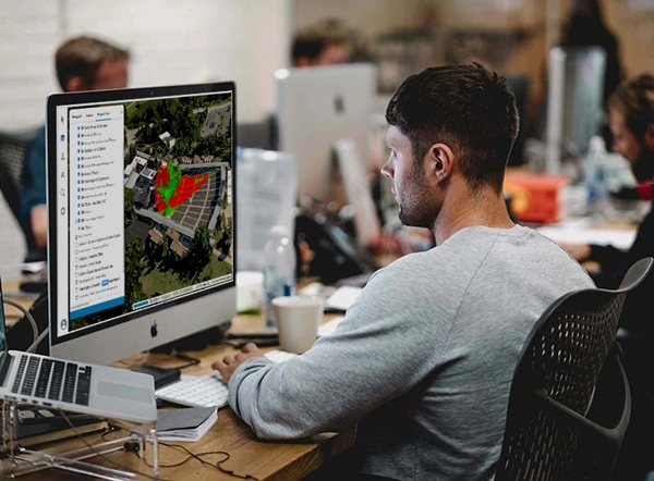
TerraExplorer Fusion
Browser-based access to terrain, 3D meshes, geospatial layers and analytical views without requiring every user to install a desktop GIS application.
Explore TerraExplorer Fusion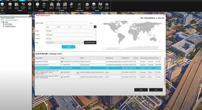
SkylineGlobe Server
A geospatial server platform for organising, publishing and streaming 2D and 3D spatial datasets to authorised desktop, browser and compatible external GIS clients.
Explore SkylineGlobe ServerSkylineCloud
Managed options for photogrammetry production and geospatial hosting where maintaining every computing component internally is not the preferred operating model.
Explore SkylineCloudTerraExplorer Mobile Solutions
Mobile-oriented 3D GIS for field viewing and specialised application development, with capabilities shaped by device, project, server and product configuration.
Explore TerraExplorer Mobile SolutionsManufacturer reference images illustrate the documented software workflows.
03 / SELECTION PRINCIPLES
Five questions that prevent an over-specified stack.
- What must be generated?
- Mesh, point cloud, orthophoto, elevation, terrain database—or an integration of existing outputs.
- Where may processing occur?
- Single workstation, organisation-managed workers, private infrastructure or an approved managed service.
- Who needs access?
- Production operators, GIS analysts, inspectors, managers, field users or public stakeholders.
- What must users do?
- View, measure, compare, edit features, inspect source photographs, convert or publish—capabilities vary by edition.
- What is the handover?
- Define formats, coordinate reference, metadata, permissions, update responsibilities and independent QA.
04 / FREQUENTLY ASKED QUESTIONS
Questions about Skyline Products.
No. A local drone-mapping workflow may need only a suitable PhotoMesh configuration and viewer, while enterprise sharing may add server and browser components. Scope follows the actual workflow.
Yes. Provide the application, source data, approximate volume, deployment preference and user responsibilities. A precise Skyline licence is not required to begin.
LOCAL IMPLEMENTATION / SINGAPORE
Define the operating workflow before choosing the licence.
Share your application, approximate data volume and user responsibilities. Easepect can help scope product supply, demonstrations, deployment, integration and training.