PhotoMesh for Drone Users
A manufacturer introduction to local drone-image processing and geospatial output production.
- Product
- PhotoMesh Drone
- Industry
- Drone mapping
 Get a quote
PHOTOGRAMMETRY / SINGLE WORKSTATION
A single-workstation PhotoMesh configuration for organisations producing georeferenced 3D and 2D outputs without necessarily operating a distributed processing cluster.
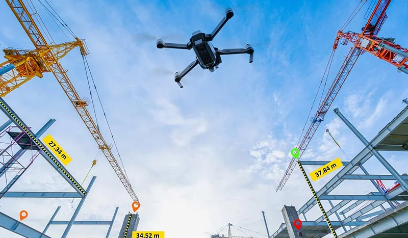
Source evidence, configuration and quality context remain attached through handover.
01 / PRACTICAL OVERVIEW
PhotoMesh Drone supports drone and close-range imagery, compatible LiDAR and multispectral sources on local hardware. It can produce mesh, point-cloud, orthophoto and elevation outputs for surveying, engineering and inspection.
The single-machine configuration changes processing architecture, not the need for sound capture and control. Hardware sizing should consider image count, resolution, output type, working storage and expected turnaround.
OFFICIAL MANUFACTURER MEDIA
Skyline-hosted demonstrations and videos are manufacturer resources, not Easepect project references. Video players load only after selection.
A manufacturer introduction to local drone-image processing and geospatial output production.
03 / WORKSTATION WORKFLOW
04 / APPLICATIONS
Document progress, surfaces and quarry or excavation conditions.
Reconstruct visible external surfaces from suitably planned imagery.
Prepare measurable visual records for further professional review.
Create site-wide spatial context and repeat mapping outputs.
Generate current reality-capture content for integration with existing asset information.
05 / DEPLOYMENT DISTINCTION
PhotoMesh Drone is the single-computer product configuration. PhotoMesh Fusers distribute build work across suitable machines, while GX provides a gigapixel-based commercial model for higher-volume production. SkylineCloud processing is a managed service rather than another local workstation licence.
Feature and output entitlement must still be checked for the selected package. Easepect can help estimate a practical architecture from data volume and turnaround rather than assuming that more machines automatically produce a better model.
06 / FREQUENTLY ASKED QUESTIONS
PhotoMesh Drone is designed as a single-computer configuration. Other PhotoMesh options support distributed fusers, gigapixel-based production or managed cloud processing. Compare architecture and entitlement rather than treating the names as quality levels.
Yes. PhotoMesh Drone is specifically designed for local single-workstation processing. Hardware, storage and licence suitability depend on dataset size, outputs and turnaround requirements.
LOCAL IMPLEMENTATION / SINGAPORE
Share your application, approximate data volume and user responsibilities. Easepect can help scope product supply, demonstrations, deployment, integration and training.