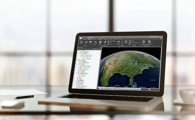
Construction Comparison with TerraExplorer
A manufacturer demonstration of spatial comparison tools for reviewing different project conditions.
- Product
- TerraExplorer
- Industry
- Construction
 Get a quote
SOLUTIONS / CONSTRUCTION
Turn suitable repeat imagery into spatial records, compare survey dates and communicate site conditions alongside engineering and GIS information.
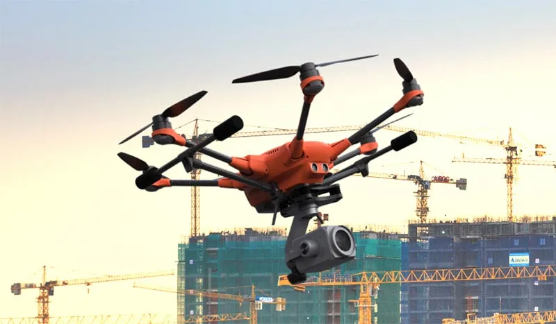
Source evidence, configuration and quality context remain attached through handover.
01 / PRACTICAL OVERVIEW
Construction teams need reliable ways to understand changing site conditions and communicate complex geospatial information. PhotoMesh can generate repeat 3D outputs, while TerraExplorer supports comparison and review alongside project data.
Detecting a difference does not by itself establish a contractual defect, construction non-compliance or certified quantity. Verified observations, aligned references and engineering assessment remain necessary.
OFFICIAL MANUFACTURER MEDIA
Skyline-hosted demonstrations and videos are manufacturer resources, not Easepect project references. Video players load only after selection.
A manufacturer demonstration of spatial comparison tools for reviewing different project conditions.
Open a Skyline-hosted project to explore visual comparison between construction datasets.
03 / APPLICATIONS
Use a repeatable capture plan and documented site/control conditions.
Retain dated spatial records of visible work and site context.
Review two or more suitable epochs with a common spatial reference.
Investigate surface change and distinguish real work from alignment or reconstruction artefacts.
Support quantity review with an agreed survey method and independent checks.
Place design and observed content in context without treating them as the same evidence.
Attach observations to locations and retain supporting source material.
Prepare guided views that state the epoch, source and limitations.
04 / WORKFLOW CONTROL
Control coverage, image geometry, positioning and site documentation.
Use an agreed horizontal and vertical reference with independent checks.
Review occlusion, vegetation, temporary works and reconstruction differences.
Route potential issues to the responsible engineering or survey process.
05 / OFFICIAL INTERACTIVE DEMONSTRATION
The demonstration linked from this page is Skyline’s Comparison Tools project. It is provided by the manufacturer for product evaluation and is not an Easepect construction reference or a verified Singapore project.
Open the demonstration from the resource panel below, then use the enquiry route to discuss capture frequency, deliverables, review responsibilities and the distinction between progress evidence and contractual certification.
06 / FREQUENTLY ASKED QUESTIONS
No. It can identify spatial differences for investigation. Contractual or engineering conclusions require verified data, an agreed reference and assessment by the responsible professional.
LOCAL IMPLEMENTATION / SINGAPORE
Share your application, approximate data volume and user responsibilities. Easepect can help scope product supply, demonstrations, deployment, integration and training.