
GNSS POST-PROCESSING / PPK + GEOTAGGING
Emlid Studio — GNSS Post-Processing for Surveying and Drone Mapping
Emlid Studio is a cross-platform desktop application for supported GNSS post-processing workflows: kinematic and static processing, drone data geotagging, Stop & Go with Emlid Flow, and conversion of receiver logs to RINEX.
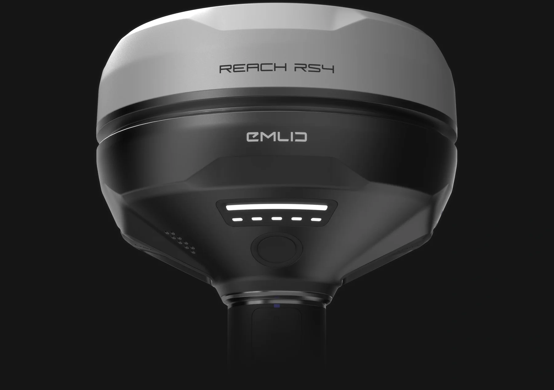
Observed data, configuration and quality evidence remain attached through handover.
01 / PRACTICAL OVERVIEW
Where Emlid Studio fits in the working system.
RTK applies corrections during data capture; PPK calculates the corrected trajectory or point positions after capture using rover and suitable base/reference observations. RINEX is a standard format for GNSS observation and navigation data, not a guarantee that two datasets are compatible or complete.
Studio supports a practical office route when a real-time correction link was absent, unreliable or intentionally omitted. It does not recover observations that were never recorded, nor does a processed fixed-looking track remove the need for base-coordinate control and independent QA.
02 / FIVE DOCUMENTED WORKFLOWS
Choose the processing route that matches the observations.
Kinematic processing
Calculate a moving rover track from raw base and rover logs recorded without requiring a real-time correction link.
Static processing
Determine a single-point position using suitable local-base and/or continuously operating reference-station observations.
Drone data processing
Process camera-event positioning and write geotags to drone imagery for subsequent photogrammetric mapping.
Stop & Go with Emlid Flow
Improve positions for compatible points collected without a real-time base-to-rover correction link.
Convert logs to RINEX
Convert supported receiver raw data into industry-standard RINEX observation and navigation files for processing or exchange.
03 / RTK, PPK AND RINEX
Three terms that answer different questions.
| Term | What it describes | Primary dependency |
|---|---|---|
| RTK | Real-time corrected positioning during observation | Correction link, base/network, solution status and field QA |
| PPK | Corrected positioning calculated after observation | Synchronised base/rover logs, base position and processing review |
| RINEX | Standard GNSS observation/navigation data format | Complete logs, correct metadata, time span and compatible signals |
| Events POS | Processed positions associated with camera-event timestamps | Reliable triggering, time marks, antenna/camera offsets and photo matching |
| Geotagged imagery | Photos with position metadata for downstream mapping | Correct event-to-photo association and photogrammetric QA |
04 / PPK FIELD-TO-OFFICE WORKFLOW
Preserve the observations before processing them.
01 / Plan the reference
Choose a known local base or suitable reference data. Define the base coordinate, antenna height and project horizontal/vertical references.
02 / Record complete logs
Enable appropriate raw logging on base and rover, ensure overlapping observation periods and retain required navigation data and event records.
03 / Process in Studio
Select the correct workflow, import observation and navigation files, review antenna settings and base position, then process.
04 / Inspect the solution
Review solution status, gaps, time coverage and anomalies. Do not export only the best-looking section without recording limitations.
05 / Geotag or export
For drone work, match event positions to the correct image set and write geotags. For survey work, export and verify coordinates in the project system.
05 / DRONE MAPPING INPUTS
The processing package is more than a folder of photographs.
- Rover observations
- RINEX observation data from the onboard receiver or drone, with the required event/MRK information for the selected workflow.
- Base observations
- Suitable base RINEX and navigation data covering the flight, plus a defensible base coordinate and antenna metadata.
- Images and event match
- The correct image set and matching event timestamps. Studio requires consistent timestamp/photo counts for its geotagging route.
- Photogrammetric control
- Ground control and checkpoints remain project-design decisions. PPK geotagging does not eliminate independent accuracy assessment.
06 / LOCAL IMPLEMENTATION
Make PPK recoverable under real project pressure.
Easepect can create a log-naming and download routine, verify a representative base/rover dataset, configure the processing sequence and train staff to recognise missing time coverage, incorrect base positions and event mismatches.
Studio is available for supported Windows and macOS environments according to current documentation. Confirm the current release and supported logs before standardising an operational workflow.
07 / FREQUENTLY ASKED QUESTIONS
Before choosing Emlid Studio.
RTK applies correction information during the observation, while PPK processes rover and base/reference observations after capture. Both need appropriate reference data and QA; PPK does not require a continuous real-time correction link during collection.
RINEX stores GNSS observation and navigation data in a standard exchange format. It allows supported processing and interoperability, but complete time coverage, metadata and suitable reference observations are still necessary.
Yes. Its drone workflow can process suitable base/rover logs and camera events, then geotag the matching images for downstream photogrammetry. Exact inputs differ for Reach modules and RTK-drone MRK workflows.
Not automatically. Control and checkpoint requirements depend on the mapping method and acceptance criteria. PPK geotagging improves the image-position route but independent checks remain essential.
No. Post-processing requires suitable recorded observations and reference data. A position-only export or ordinary photographs cannot substitute for missing GNSS raw observations and events.
LOCAL IMPLEMENTATION / SINGAPORE
Not sure which Emlid receiver suits your project?
Tell us what you are surveying, your operating environment and required deliverables. Model selection is optional; Easepect can help identify a suitable hardware and software workflow.