The work that earned the recognition.
Documented Easepect engagements — methodology, deliverable, the agency or operator we worked with, and the result. Recognised by Singapore's land and planning authorities.
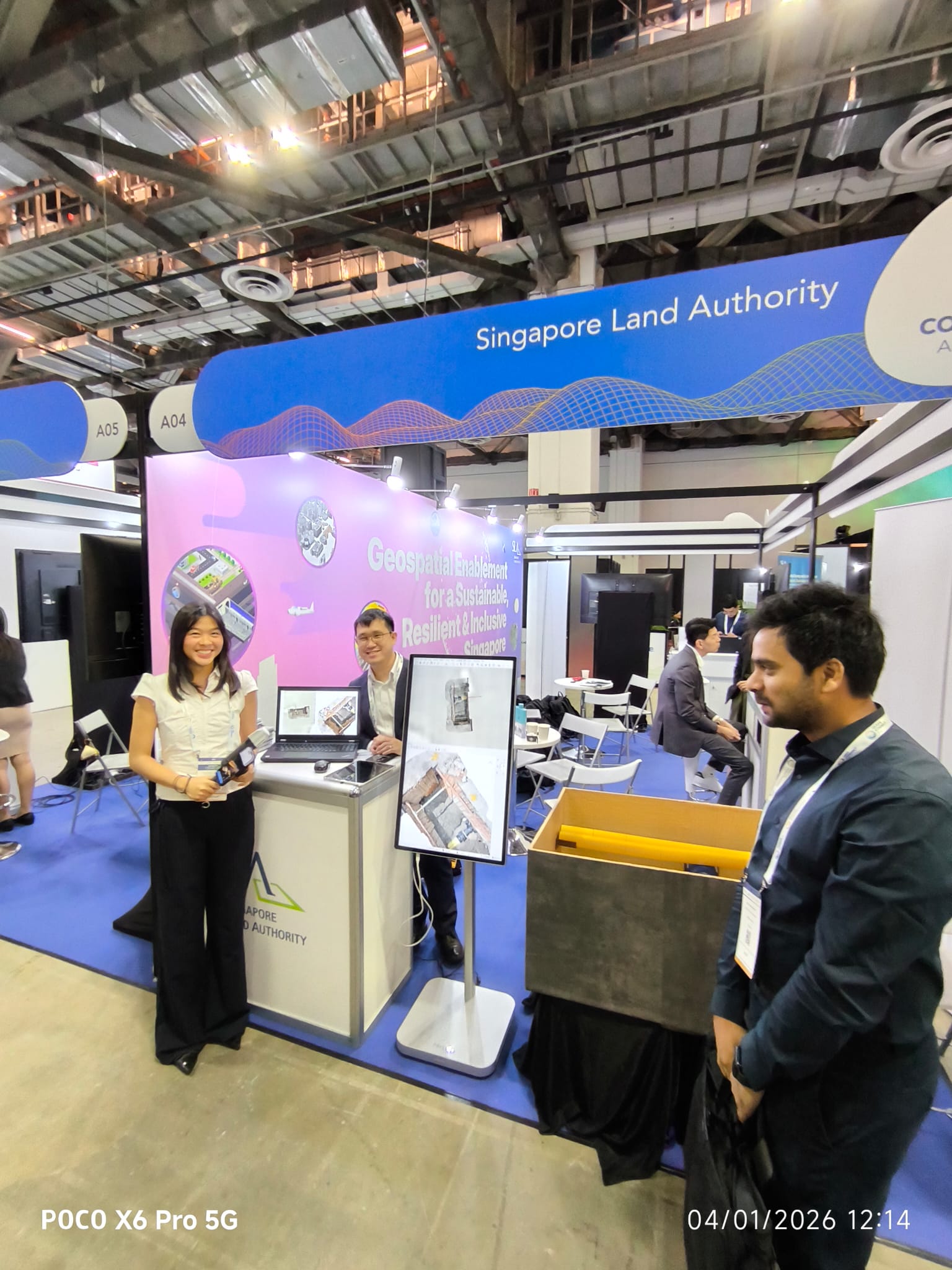
Singapore Land Authority — production trench-scan workflow
PIX4Dcatch + Emlid RTK trench-scan workflow now in production with SLA — captured at the SLA Geospatial Enablement showcase.
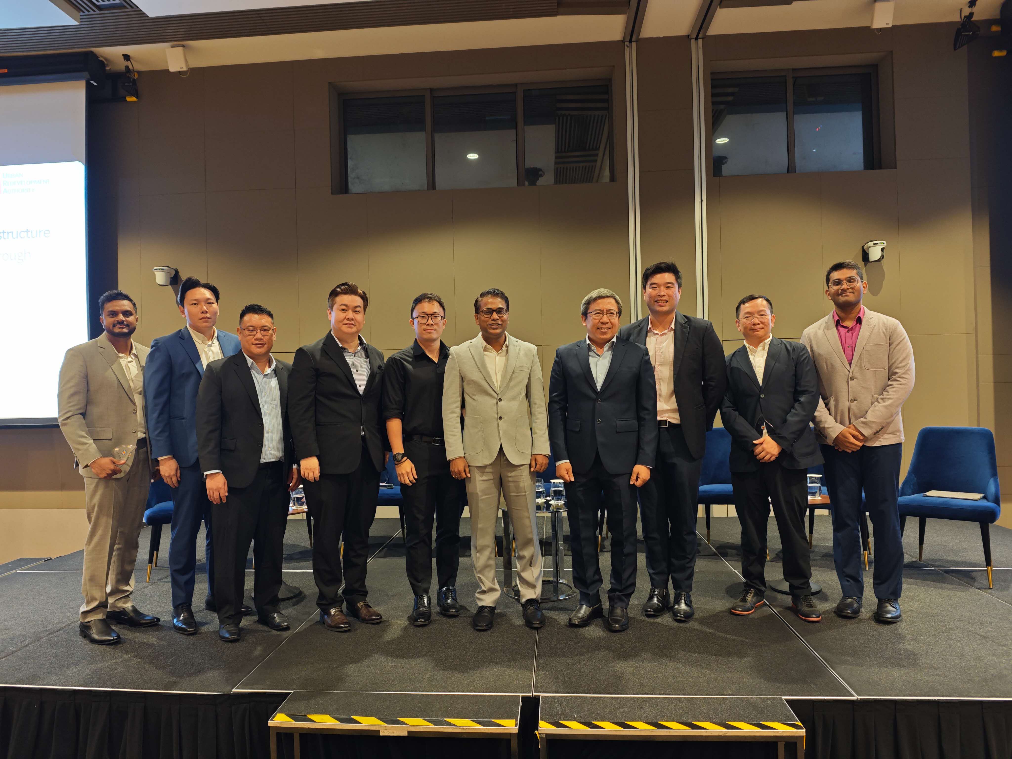
URA panel — geospatial infrastructure for Singapore’s built environment
Easepect was invited on-stage to share the PIX4Dcatch + RTK methodology, results from Singapore deployments, and the path to QL-A subsurface digital twins.
More case studies coming.
We are in the process of publishing additional case studies on construction-progress drone mapping, mining volumetrics across Indonesia, fibre-optic subsurface documentation and defence-grade 3D GIS deployments. Get in touch if you would like a reference call ahead of a procurement decision — we can usually arrange one inside the week.
Let us scope the right stack for your project.
Tell us about your site, your accuracy target and your timeline. We will come back with a short technical proposal — not a catalogue.