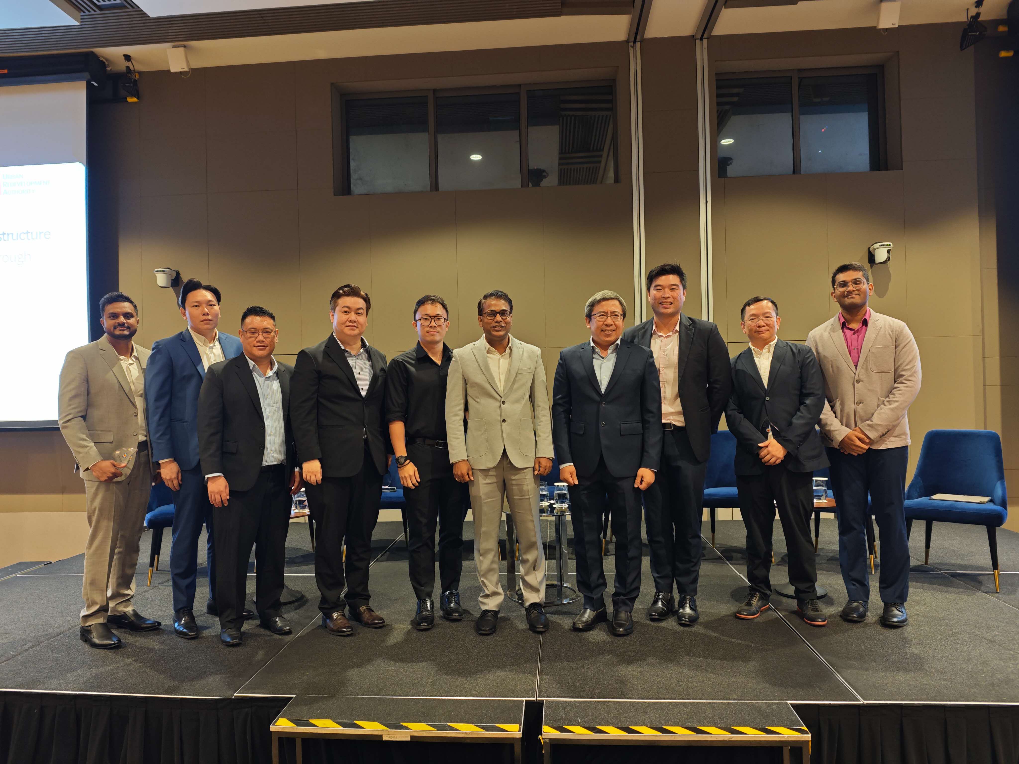
URA invited us to talk.
The Urban Redevelopment Authority brought Easepect on-stage as part of an industry panel on geospatial infrastructure for the next generation of Singapore's built environment.
Industry recognition for the trench-scan methodology.
The Urban Redevelopment Authority — the lead agency planning Singapore's built environment — convened an industry panel on the future of geospatial infrastructure. Easepect was invited to share, on-stage, the PIX4Dcatch + Emlid RTK methodology now used by Singapore agencies for QL-A subsurface utility documentation.
The discussion ran across the practical questions a planner asks before adopting a new methodology: how the workflow performs against existing total-station survey, how it integrates with the city's GIS, what it costs at city-scale, and how field crews acquire the skill. The panel was an opportunity to make the case from operator data — not from a pitch deck — and to position the trench-scan workflow as a building block for Singapore's subsurface digital twin.
Three operator-grade points.
QL-A evidence on a phone
Sub-5 cm absolute accuracy from a LiDAR-equipped iPhone plus an Emlid Reach RX rover — meeting ASCE 38 / PAS 128 QL-A evidence requirements without a tripod-mounted total station.
Site-team capture
The capture moves to the project's own site team — surveyors review and sign off rather than attending every trench. Cost-per-utility-record drops materially as a programme scales.
Built-environment digital twin
Every documented network is a tile in the city's eventual subsurface digital twin. PIX4Dsurvey vectorisation drops directly into ArcGIS Online or any standards-compliant utility GIS.
Get the methodology.
For the full subsurface methodology — workflow, standards alignment (ASCE 38 / PAS 128), the kit and the FAQ — read /solutions/subsurface-mapping/. For tutorials and accuracy benchmarks, our companion knowledge site is photogrammetry.com.sg.
Want a reference call before procurement?
We can usually arrange one inside the week — get in touch and we'll set it up.