
TECHNICAL GUIDE / PRODUCT RESPONSIBILITIES
Photogrammetry vs 3D GIS — Production and Analysis Are Different Responsibilities
Photogrammetry derives spatial outputs from imagery; 3D GIS integrates, visualises and analyses those outputs alongside other geographic information.
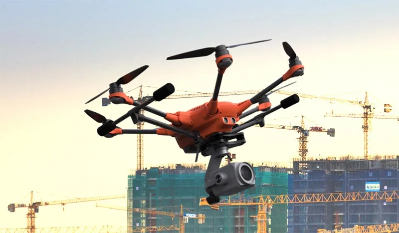
Source evidence, configuration and quality context remain attached through handover.
01 / PRACTICAL OVERVIEW
Where Photogrammetry vs 3D GIS fits in the working system.
PhotoMesh and TerraExplorer are connected but not interchangeable. PhotoMesh solves the reconstruction and mapping-production problem; TerraExplorer provides the interactive 3D GIS environment in which users investigate spatial content.
TerraBuilder and SkylineGlobe Server add further responsibilities: terrain preparation and managed publication. Treating the whole suite as one “3D modelling program” makes selection and handover unnecessarily unclear.
03 / SIDE-BY-SIDE
Choose by the work that needs to be done.
| Responsibility | PhotoMesh | TerraExplorer |
|---|---|---|
| Primary purpose | Photogrammetric reconstruction and 2D/3D output production | 3D GIS visualisation, query, analysis and presentation |
| Typical input | Overlapping photographs, positioning, control and compatible LiDAR | Terrain, imagery, mesh, point cloud, BIM, CAD and feature layers |
| Core operation | Alignment, reconstruction, texturing and mapping output generation | Navigation, measurement, comparison, terrain analysis and inspection |
| Typical output | Mesh, point cloud, orthophoto, DSM, DTM and supported exports | Reviewed projects, observations, presentations and edition-dependent published content |
| Quality question | Were outputs reconstructed and referenced correctly? | Are users interpreting the right layers with the right context? |
| Licence check | Processing architecture, outputs and automation | Viewer/Plus/Pro or Fusion entitlement and server permissions |
04 / CONNECTED WORKFLOW
Where each Skyline component enters.
PhotoMesh
Create georeferenced reality-capture and mapping outputs.
TerraBuilder
Prepare imagery and elevation as multi-resolution terrain context.
SkylineGlobe services
Publish, manage and stream approved content to users.
TerraExplorer
Inspect, analyse and communicate the integrated environment.
05 / SELECTION EXAMPLES
Start from the deliverable, not the software name.
Only need a mesh and orthophoto?
Assess PhotoMesh configuration, processing and independent output QA.
Already have spatial outputs?
Assess TerraExplorer and any conversion or publishing requirements.
Need many users to review?
Assess server/hosting, browser or mobile access and user permissions.
Need a repeat operating system?
Define the complete production, update, analysis and training workflow.
06 / FREQUENTLY ASKED QUESTIONS
Questions about Photogrammetry vs 3D GIS.
No. TerraExplorer is the 3D GIS client family. PhotoMesh performs photogrammetric reconstruction; TerraExplorer visualises and analyses suitable outputs and other spatial layers.
PhotoMesh supports several documented industry-oriented output formats. Confirm the required format and test coordinate, attribute and visual behaviour in the receiving platform.
LOCAL IMPLEMENTATION / SINGAPORE
Define the operating workflow before choosing the licence.
Share your application, approximate data volume and user responsibilities. Easepect can help scope product supply, demonstrations, deployment, integration and training.