
SOLUTIONS / ENTERPRISE DIGITAL TWINS
3D Digital Twins — Connect Reality Capture, GIS and Operational Context
Create a useful digital-twin environment by connecting current spatial content, asset information, access controls and an explicit update and verification process.
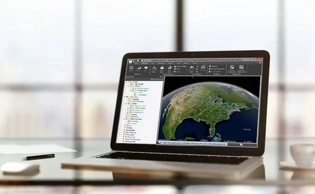
Source evidence, configuration and quality context remain attached through handover.
01 / PRACTICAL OVERVIEW
Where 3D Digital Twin Singapore fits in the working system.
A digital twin is more than a visually convincing mesh. It needs a defined operational purpose, identifiable assets, current source information, ownership and a method for maintaining the relationship between the digital representation and the physical asset.
Skyline’s platform can support the spatial production, integration, sharing and analysis layers of that system. Easepect helps scope the workflow around Singapore project requirements without implying that a software purchase alone creates an operational twin.
03 / DIGITAL-TWIN LAYERS
Four responsibilities behind a credible implementation.
Observed reality
Photographs, LiDAR, terrain and capture records describe measurable source evidence.
Spatial representation
Meshes, point clouds, GIS features and BIM content provide structured context.
Operational information
Asset identifiers, documents and approved attributes connect the model to work.
Governance
Ownership, permissions, updates, retention and QA keep the environment useful.
04 / SKYLINE ARCHITECTURE
Build, share and analyse without blurring the components.
| Layer | Relevant Skyline components | Project question |
|---|---|---|
| Reality-capture production | PhotoMesh or PhotoMesh Drone | What source data and verified outputs are required? |
| Terrain context | TerraBuilder | Which imagery and elevation sources form the geographic base? |
| Publishing and access | SkylineGlobe Server or approved SkylineCloud services | Who can view or edit, and where may content reside? |
| Visualisation and analysis | TerraExplorer Desktop, Fusion or mobile | What decisions should each user group be able to support? |
05 / SINGAPORE IMPLEMENTATION
Start with one operational decision and a manageable pilot.
Asset and site scope
Define the pilot boundary, asset identifiers and required level of detail.
Coordinate and data context
Agree spatial references, source dates, formats and relationships to existing GIS or BIM systems.
Access and security
Separate public demonstration content from internal or restricted operational information.
Update and ownership
Assign recapture, processing, review, publication and retirement responsibilities.
06 / FREQUENTLY ASKED QUESTIONS
Questions about 3D Digital Twin Singapore.
No. A mesh is a spatial representation. A useful digital twin also needs an operational purpose, reliable asset relationships, governance and an update process.
TerraExplorer and SkylineGlobe workflows can integrate suitable GIS, BIM, terrain and reality-capture content. Formats, conversion, georeferencing and edition requirements need project-level verification.
LOCAL IMPLEMENTATION / SINGAPORE
Define the operating workflow before choosing the licence.
Share your application, approximate data volume and user responsibilities. Easepect can help scope product supply, demonstrations, deployment, integration and training.