
Field survey, GIS, construction and capture teams that need setup, observation discipline or independent positioning checks.
SERVICES / POSITIONING + FIELD QA
RTK GNSS Survey Support
Establish a dependable positioning workflow around corrections, coordinate settings, observation quality and independent checks—not around a nominal accuracy number alone.
Project scope, measured performance and acceptance criteria are confirmed for each appointment.
A documented field configuration, agreed observation package, measured check results where included and an operating checklist.
Describe the positioning task, coordinate and height references, site conditions, existing equipment and professional scope.
Request a contextual quotation01 / CUSTOMER PROBLEM
Understanding Your Project Requirements
RTK fieldwork can fail or produce misleading coordinates through correction interruptions, incorrect datum or projection settings, poor satellite visibility, unstable observations or inconsistent field records.
Easepect supports teams with receiver setup, field procedures and spatial-data checks. Project accuracy is evaluated from the actual observations and independent evidence, while licensed or registered survey responsibilities remain separately defined.
02 / EASEPECT’S SCOPE
Our Services and Deliverables
Set up a practical receiver, correction and field-software workflow, then support observations, coordinate checks and team onboarding for the intended task.
Receiver and correction setup
Configure compatible hardware, communication, NTRIP or other correction routes and field software without requesting credentials through the website.
Coordinate configuration
Separate geographic and projected coordinates, horizontal and vertical references, units, geoid or height decisions and export settings.
Field observation support
Establish observation routines, solution-status checks, occupancy and metadata practices suited to the site and task.
Control and independent checks
Observe known points or independent checkpoints where required and report measured results with the field conditions.
Team onboarding
Document the operating sequence, common failure modes and escalation route for field and office users.
03 / TECHNICAL WORKFLOW
How We Deliver Your Project
Configuration is validated before production observations, followed by field logging, independent checks where required and a controlled export to the receiving system.
- 01
Define the positioning task
Confirm required outputs, project coordinate reference, tolerance, site environment and professional responsibilities.
- 02
Select and configure
Assess receiver, antenna, controller, correction service and software compatibility for the intended operation.
- 03
Validate before production
Check communication, correction age, solution status, coordinate settings and known-point behaviour before collecting project data.
- 04
Observe and log
Capture points or support reality capture while recording solution status, time, antenna details and exceptions.
- 05
Check independently
Compare agreed checkpoints or repeat observations and investigate discrepancies rather than averaging them away.
- 06
Export and hand over
Check field names, units, coordinates and metadata in the receiving GIS, CAD or processing environment.
04 / HARDWARE + SOFTWARE
Technology and Equipment
Receiver, controller, correction service and field software are chosen for compatibility, site visibility, coordinate requirements and the team’s operating routine.
Emlid Reach receivers
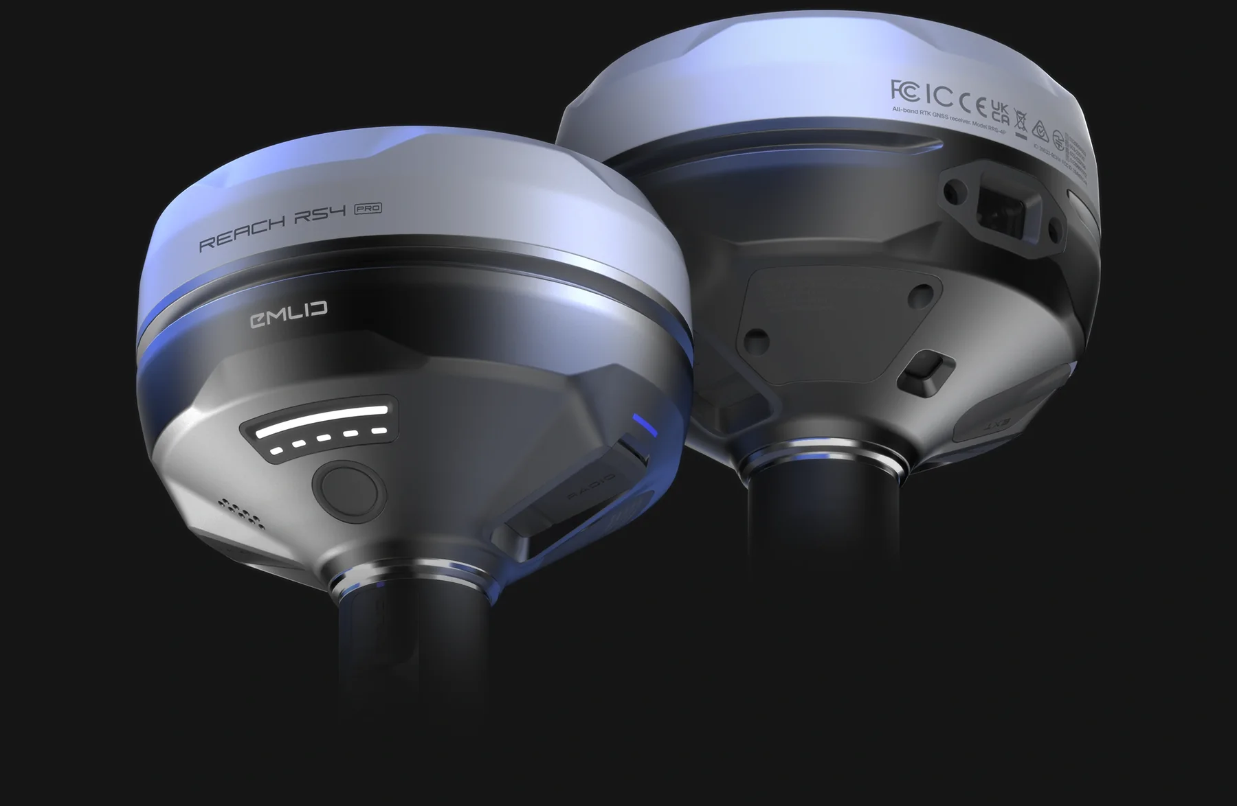
RS4 Pro, RS4, RX2 and RS3 address different field and integration requirements; compare the complete operating setup.
Emlid Flow & Caster
Field collection, project settings and correction workflows, with current version and service scope verified for the deployment.
Singapore RTK & SiReNT
Local correction and coordinate considerations, including the distinction between SVY21 horizontal coordinates and height-reference decisions.
PIX4Dcatch RTK
Compatible mobile capture configurations can use external positioning for georeferenced visible-scene reconstruction.
Global Mapper
Receive, transform and check spatial data using the tools available in the selected subscription.
05 / DELIVERABLES
Project Deliverables
Receive the agreed field configuration, observations, checkpoint results, exchange files and an operating checklist suited to your team.
Configured field workflow
Documented receiver, correction, coordinate and field-software settings appropriate to the agreed task.
Observation package
Agreed point or field observations with timestamps, solution information, antenna metadata and notes where supported.
Check-point results
Measured independent-check results where included, with coordinates, conditions and any excluded observations explained.
GIS or CAD exchange files
Agreed formats checked for geometry, fields, units and coordinate interpretation.
Operating checklist
A concise field sequence, QA gates and escalation notes for the customer’s team.
06 / QA + QC
Accuracy Checks and Quality Assurance
Correction status, coordinate and height settings, antenna details and independent observations are reviewed as evidence from the actual field session.
- Correction source, communication and solution behaviour checked
- Horizontal coordinate reference and vertical reference recorded separately
- Antenna height and observation metadata reviewed where applicable
- Known-point or independent-check results reported as measured evidence
- Obstructions, multipath, correction outages and unstable solutions documented
- No nominal manufacturer accuracy presented as achieved site accuracy
07 / EXCLUSIONS + RESPONSIBILITIES
Project Scope and Exclusions
Survey certification, unreliable observing environments and credential handling are addressed separately from routine equipment and workflow support.
- Cadastral surveys or registered-surveyor certification unless separately and lawfully appointed
- Guaranteed fixed solution, canopy performance or accuracy under all conditions
- Disclosure or transfer of NTRIP passwords, subscription tokens or other credentials through the enquiry form
- Automatic acceptance of coordinates by an authority, client or project specification
- Unverified conversion between horizontal coordinates and height datums
08 / FREQUENTLY ASKED QUESTIONS
Practical answers before you request a quotation.
No. Satellite visibility, multipath, corrections, observation method, coordinate configuration and site conditions affect results. Project performance needs field verification.
Correction-service compatibility and setup can be supported. Access, subscription and credentials remain the customer’s responsibility and must not be sent through the general enquiry form.
No. SVY21 addresses horizontal projected coordinates. Height reference, geoid or other vertical decisions must be specified and checked separately.
RTK positions observed features or capture data; it does not detect buried utilities. Suitable detection and survey methods remain separate.
Regulated or certified survey scope is not implied by RTK support. Where required, the customer must appoint the appropriately registered professional and define responsibilities.
PROJECT / DEMONSTRATION
Request a Project Quotation
Tell us the positioning task, existing equipment and coordinate or height requirements. We will help define the setup, validation and training support required.