
Utility owners, contractors, Registered Surveyors and GIS teams with a defined exposed-utility record or handover requirement.
SERVICES / EXPOSED UTILITIES + GIS
Underground Utility GPC & GIS Deliverables
Document visible and exposed infrastructure before backfill, then move the spatial evidence into a controlled GIS handover without confusing reality capture with a complete underground utility survey.
Project scope, measured performance and acceptance criteria are confirmed for each appointment.
Scoped field capture, geolocated 3D evidence, agreed GIS features, metadata and a QA/exception register.
Provide the exposure window, visible scope, required formats, coordinate reference and professional-review responsibilities.
Request a contextual quotation01 / CUSTOMER PROBLEM
Understanding Your Project Requirements
A trench may be open for only a short period while utility records, photographs and measurements are handled by different parties. Once backfilled, visible evidence of pipe position, connections, chambers and surrounding context can be difficult to reconstruct.
A geo-located point cloud can preserve a spatial record of the exposed scene and support subsequent GIS interpretation. It does not detect pipes behind intact soil or concrete, establish the position of unobserved assets, or automatically satisfy a project’s utility-survey or submission requirements.
02 / EASEPECT’S SCOPE
Our Services and Deliverables
Coordinate capture around the trench-opening window, then carry the observed utility geometry through processing, GIS preparation and handover.
Capture coordination
Confirm the exposure window, safe access, visible scope, required detail, coordinate reference and responsible site contacts before mobilisation.
RTK-enabled field capture
Plan overlapping imagery, correction reception and solution-status logging around the trench, chambers and accessible surrounding context.
Processing and georeferencing
Reconstruct the visible scene, inspect alignment and preserve coordinate, correction, source-image and exception information.
GIS preparation
Extract or digitise agreed features, apply project attribution and prepare agreed GIS, CAD or exchange formats with observed-versus-interpreted distinctions.
Quality evidence
Check coverage, independent checkpoints where specified, feature completeness, metadata and handover readability against the agreed scope.
03 / TECHNICAL WORKFLOW
How We Deliver Your Project
The field sequence is planned around safe access, exposure time, coordinate control and the features your project team needs to record before backfilling.
- 01
Define the record
Identify utilities, areas, formats, attributes, coordinate reference, height decisions and the appointed professional’s requirements.
- 02
Inspect the exposure
Record access, occlusions, water, lighting, surface visibility, safe capture positions and any areas that cannot be observed.
- 03
Establish positioning
Configure the RTK correction route and coordinate settings; record solution status and use control or independent checks where required.
- 04
Capture the visible scene
Collect overlapping imagery with sufficient geometry and detail while avoiding unsupported assumptions about hidden infrastructure.
- 05
Process and inspect
Generate the agreed spatial outputs, review reconstruction quality and document gaps, distortions, weak geometry and positioning exceptions.
- 06
Interpret and hand over
Prepare agreed GIS features and metadata, run completeness checks and issue the evidence package with limitations and QA records.
04 / HARDWARE + SOFTWARE
Technology and Equipment
Mobile photogrammetry, RTK positioning and GIS tools are selected around the visible assets, required coordinate framework and receiving system.
PIX4Dcatch
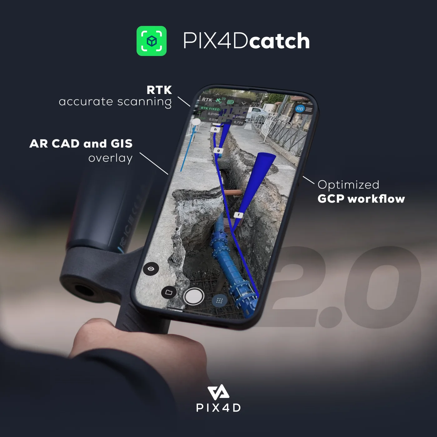
Mobile photogrammetric capture of accessible, visible scenes; RTK use depends on the compatible device and receiver configuration.
Emlid RTK
Receiver, correction and field-configuration options for georeferenced capture and independent observations.
Global Mapper
GIS data preparation, coordinate handling, point-cloud review and export according to the selected subscription.
PIX4Dcatch + Emlid workflow
A detailed eight-step field-to-GPC guide covering setup, capture, processing, QA and limitations.
05 / DELIVERABLES
Project Deliverables
Receive the agreed point cloud, imagery, utility features, attributes and handover notes in formats suited to your GIS, CAD or review workflow.
Geolocated point cloud
An agreed exchange format representing the reconstructed visible scene, with coordinate and processing metadata.
Orthophoto or site imagery
Where included, a visual plan-view record and selected source or field photographs for context.
GIS feature package
Agreed lines, points or polygons, attributes and layer organisation in the specified format; interpretation is distinguished from direct observation.
QA and exception register
Coverage notes, positioning information, independent-check results where specified, processing observations and unresolved limitations.
Handover notes
Coordinate reference, units, file inventory, software/version context and any receiving-system considerations.
06 / QA + QC
Accuracy Checks and Quality Assurance
Checks address positioning, reconstruction, coverage and GIS completeness, with independent project measurements reported where they are part of the appointed scope.
- Coverage inspected against the agreed exposed-utility scope
- RTK solution and correction information retained where available
- Independent checkpoints or known-point checks included when specified
- GIS geometry, attributes, coordinate reference and file readability checked
- Unseen, occluded or uncertain features identified rather than inferred as observed
- Measured project results reported separately from nominal manufacturer specifications
07 / EXCLUSIONS + RESPONSIBILITIES
Project Scope and Exclusions
Hidden assets, regulated survey responsibilities and formal acceptance requirements are identified during scoping so the capture record is used appropriately.
- Detection of utilities through intact ground, concrete or other obscuring surfaces
- A complete statutory or contractual underground utility survey unless separately appointed and scoped
- Automatic compliance with USS, URA/IPAG, ASCE 38, PAS 128, cadastral or acceptance requirements
- Certified drawings or registered-surveyor responsibilities not expressly included
- Unverified attribution of utility owner, material, depth or operational status
08 / FREQUENTLY ASKED QUESTIONS
Practical answers before you request a quotation.
No. GPC supplements project records and required survey methods. The appointed professional and project specification determine the required investigation, certification and acceptance route.
Visible-light photogrammetry records visible surfaces. It cannot detect a pipe through intact soil or concrete. Other approved detection and survey methods remain necessary for buried assets.
Formats are agreed around the receiving system and selected processing tools. Common GIS and CAD exchange routes can be assessed, but attributes, geometry, coordinate support and version compatibility must be tested.
Accuracy is assessed from project setup, correction and control information, reconstruction quality and independent checks where specified. A nominal receiver or camera specification is not a measured project result.
The gap is recorded as a limitation. Occluded geometry or identity is not presented as directly observed, and any interpretation must be identified and appropriately verified.
PROJECT / DEMONSTRATION
Request a Project Quotation
Tell us the general project area, expected exposure window and required outputs. We can then discuss capture, GIS preparation and any survey coordination needed.