Achieve Survey-Grade Accuracy Anywhere, Anytime
Unlock Precision Mapping with PIX4Dcatch and EMLID Reach RX RTK
About the demo days
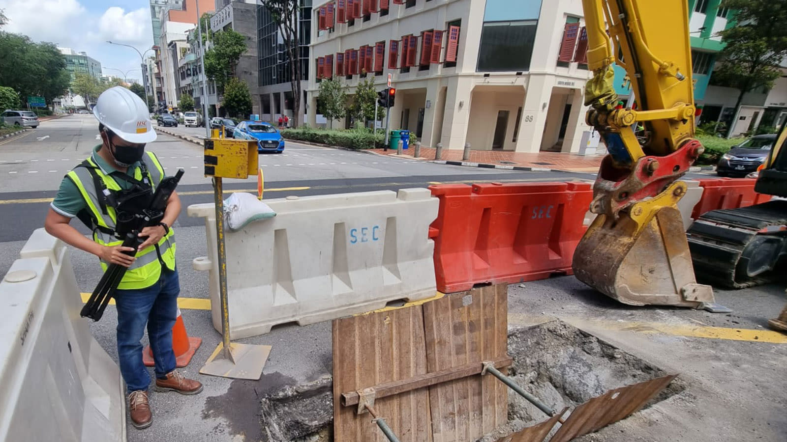
"See how you can digitize and document trenches and as-built objects on construction sites"
When performed by the team directly, the live demo sessions can last about 1 hours, begining with a short presentation by our expert team, then a demonstration of how to use the product and analyze the results, showcasing the whole workflow. Attendees will then get a chance to try the device for themselves, ask questions, and learn about the product.
Managing Director of HSC in Singapore
Mr. Shane Shi
“The combination of PIX4Dcatch, viDoc, and PIX4Dcloud has enabled us to create high quality 3D scans that are geospatially accurate and easy to share with stakeholders. Not only is the workflow intuitive and seamless, but it is also at a fraction of the cost of other multi-part solutions available on the market.”

