
Photogrammetry software for professional drone mapping

Bridge the gap between photogrammetry and CAD

Photogrammetry on a large scale

Online platform for drone mapping, progress tracking, and site documentation

Telcom
Automated industrial inspection and asset management

Agriculture
Field mapping and aerial crop analysis for digital farming

Emergency response
The fast mapping software for emergency response

Construction
Online platform for drone mapping, progress tracking, and site documentation - with advanced features

OEM & Integrators
Build the future of digitized reality with our photogrammetry reconstruction engine

Free mobile app to plan, fly and get optimized images for professional drone mapping

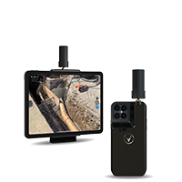
Turn your mobile device into a professional 3D scanner

Professional drone flight app for optimal inspection data
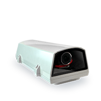
CraneCamera
2D and 3D as-built data delivered every day automatically with no site intervention needed
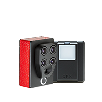
viDoc RTK rover
The future of single point measurement with 3D scanning. For selected iPhone and Android devices
Parrot Sequoia
The multispectral sensor for precision agriculture mapping