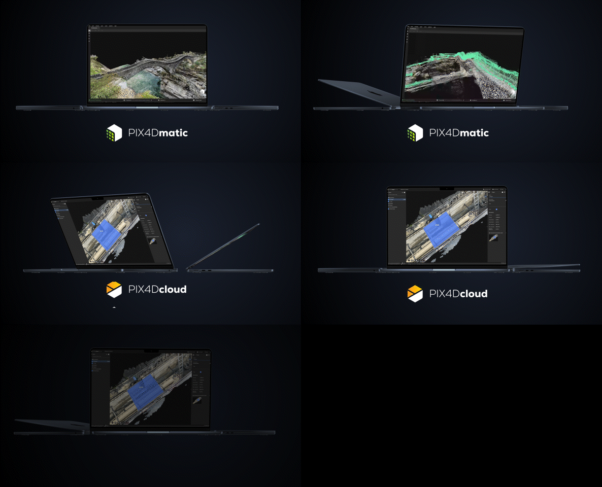
PIX4Dcatch & EMLID Reach RX
Transform your work with precise 3D scans and AR Developed
New mobile solution for terrestrial scanning from Emlid and Pix4D to accelerate data capture in construction, utilities, and more
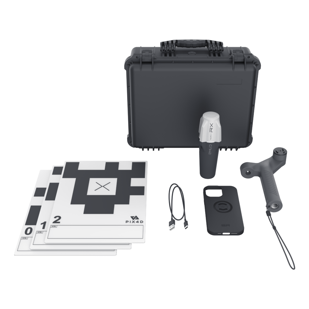
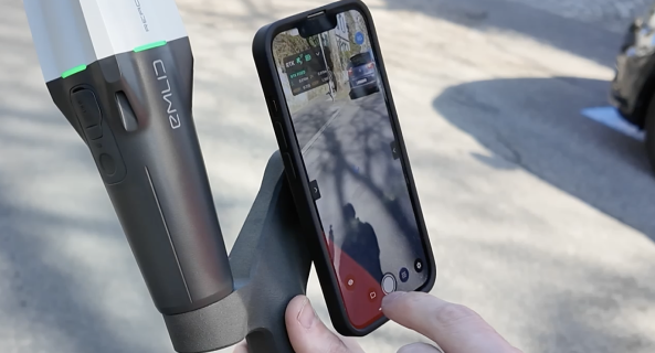
Plug & play: fully integrated solution easy to grip on
To streamline and accelerate complex field-to-office workflows, Emlid and Pix4D are launching a mobile scanning kit that will allow anyone on the team to capture accurate digital scans with their smartphone, PIX4Dcatch app, and Emlid Reach RX rover.
— Mr. Shane Shi
Managing Director for HSC Pipeline Engineering
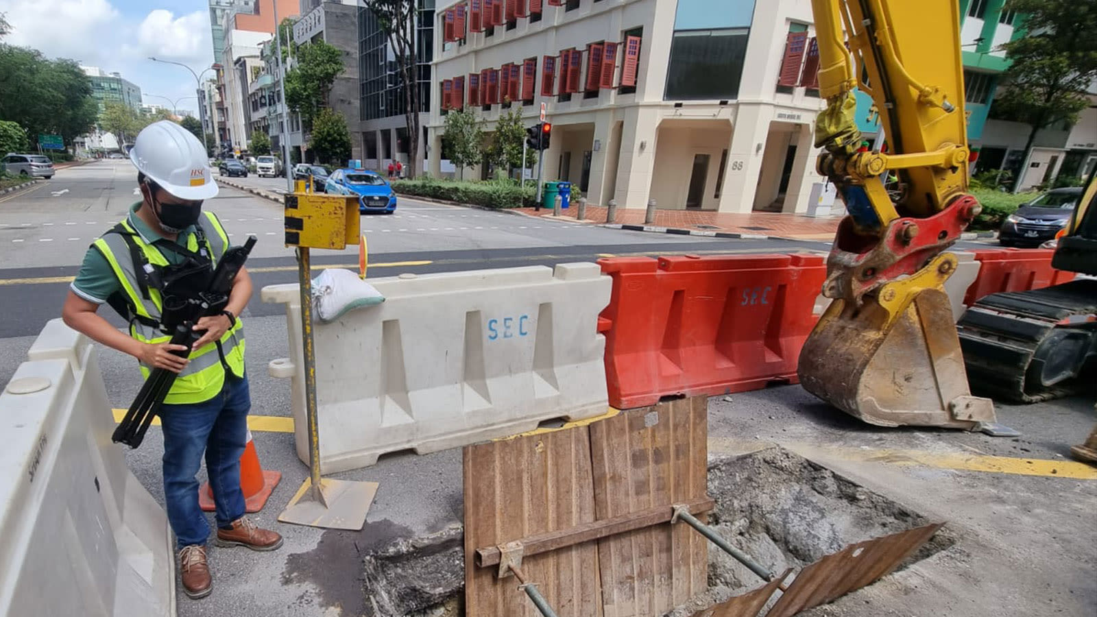
“The combination of PIX4Dcatch, Emlid, and PIX4Dcloud has enabled us to create high quality 3D scans that are geospatially accurate and easy to share with stakeholders. Not only is the workflow intuitive and seamless, but it is also at a fraction of the cost of other multi-part solutions available on the market.”
Workflow
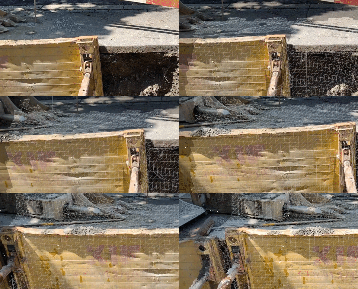
Capture ground data
Walk along or around the area of interest to scan, and PIX4Dcatch will automatically record video frames with positional and orientation information.
Ensure completeness
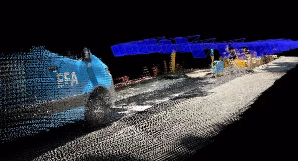
Experience real-time AR feedback on your scan’s coverage and completion with a 3D mesh overlay and point cloud live viewer
Pause and restart
Pause the capture whenever needed. The live viewer continues to display on your device, displaying the areas you’ve already covered.
Export and process
Upload the captured images to PIX4Dcloud or export them to PIX4Dmapper or PIX4Dmatic to generate accurate, measurable, and easy to share 3D models and point clouds.
