viDoc RTK rover
for selected iPhone and Android devices
The future of single point measurement with 3D scanning
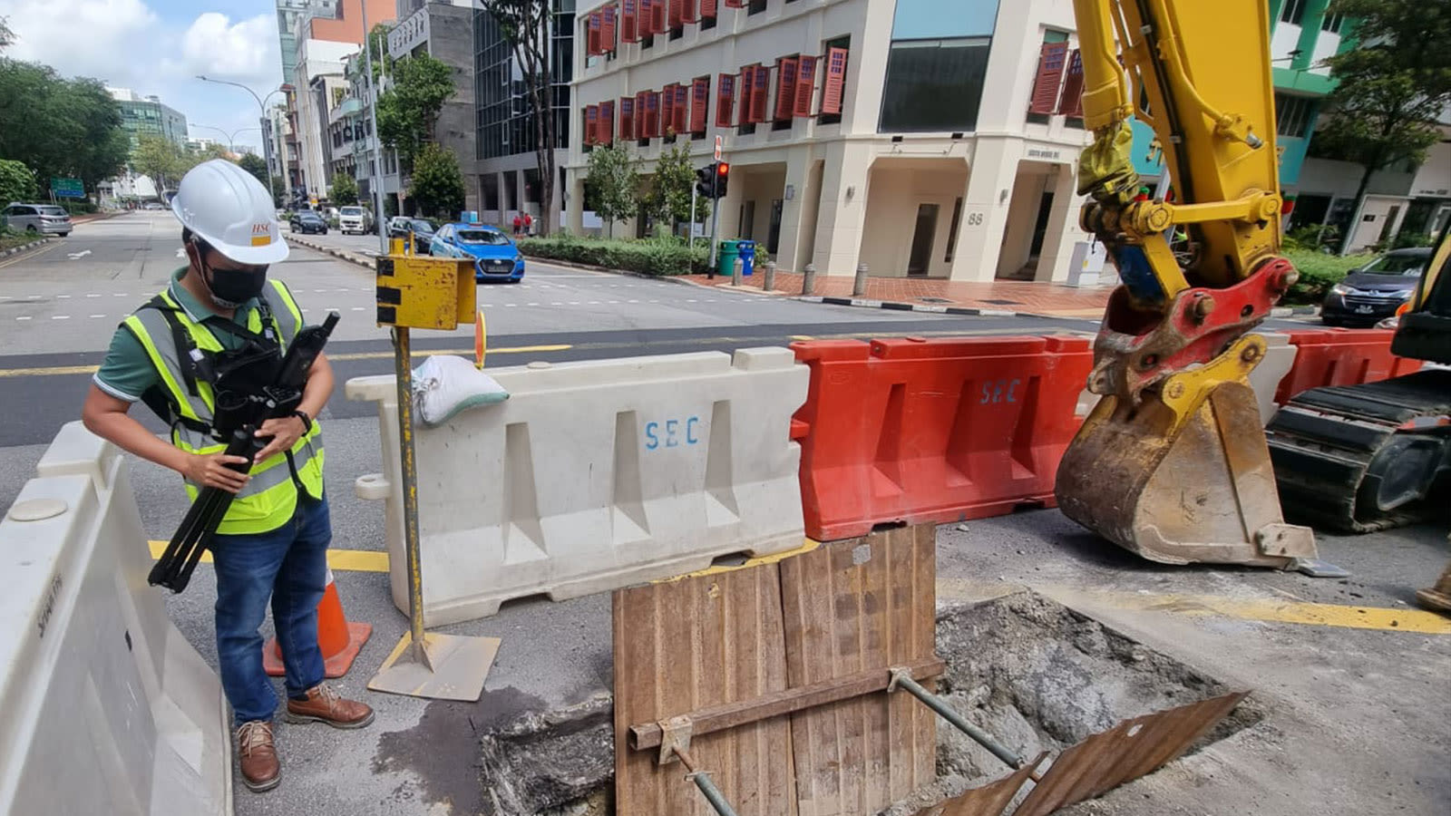
Use viDoc RTK rover to document trenches with PIX4Dcatch
See how you can digitize and document trenches and as-built objects on construction sites
— Mr. Shane Shi
Managing Director for HSC Pipeline Engineering
“The combination of PIX4Dcatch, viDoc, and PIX4Dcloud has enabled us to create high quality 3D scans that are geospatially accurate and easy to share with stakeholders. Not only is the workflow intuitive and seamless, but it is also at a fraction of the cost of other multi-part solutions available on the market.”
Use a handheld RTK rover to elevate single point measurement with 3D scans
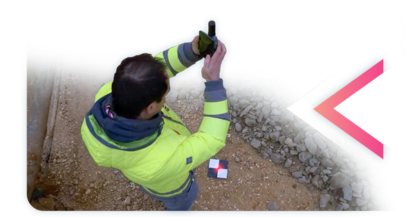
Multiple options for accurate point measurement
Measure with the laser, photogrammetry, or attach it to a surveying rod.
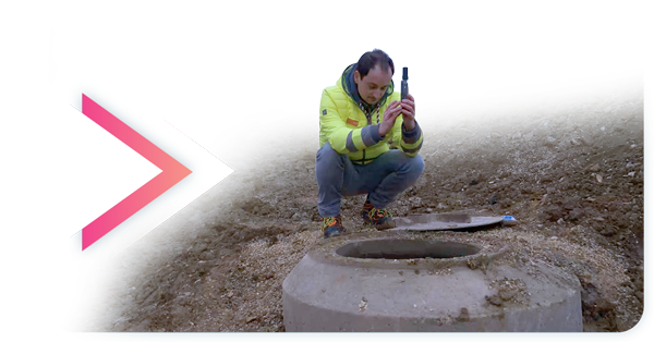
Measure obstructed points
Complete data collection without missing anything that may be obstructed by objects like trees or overhangs.
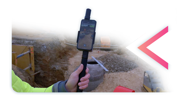
Accurate and safe measurement methods
Get your measurements and reduce risks – cut unnecessary trench visits, etc. Make data collection safer.
The viDoc RTK rover with PIX4Dcatch:
Accurate surveying with a mobile device
| Easy field-to-finish workflows | RTK positioning rover for 3D scanning | Enhanced mobile data collection |
|---|---|---|
| Easy digitalization with Pix4D software that can measure single points or create line work from data capture. | viDoc RTK rover pairs with the PIX4Dcatch to geotag images of the 3D scan in real-time using NTRIP services | viDoc connects to over 600 channels (including all major constellations such as GPS, GLONASS, Galileo, etc.) which results in convergence in under 5 seconds. |
| Replacing complex workflows | Accurate workflow in your hands | Intuitive feel and structure |
| Ground surveying equipment like laser scanners can be expensive, bulky, and highly technical. Drones can be restricted by regulations. Overcome the obstacles with a handheld rover. | The viDoc, the smartphone, PIX4Dcatch, and PIX4Dcloud. An end-to-end solution that gets measurements at centimeter level absolute accuracy. | Easy for anyone to collect points or complete an accurate 3D scan. The handheld rover combines with mobile software to create digital twins as fast as possible. |